Above Vermont
I have always been fascinated by seeing the earth from above. Growing up in a light-filled house on a hill in Vermont, I spent hours studying the black-and-white prints and color slides my late father made while flying over Connecticut and Vermont in the 1960s. These photographs became windows into a past I never knew and a connection to a father I lost when I was five years old. An amateur pilot with a passion for photography, he unknowingly inspired me to become a photojournalist.
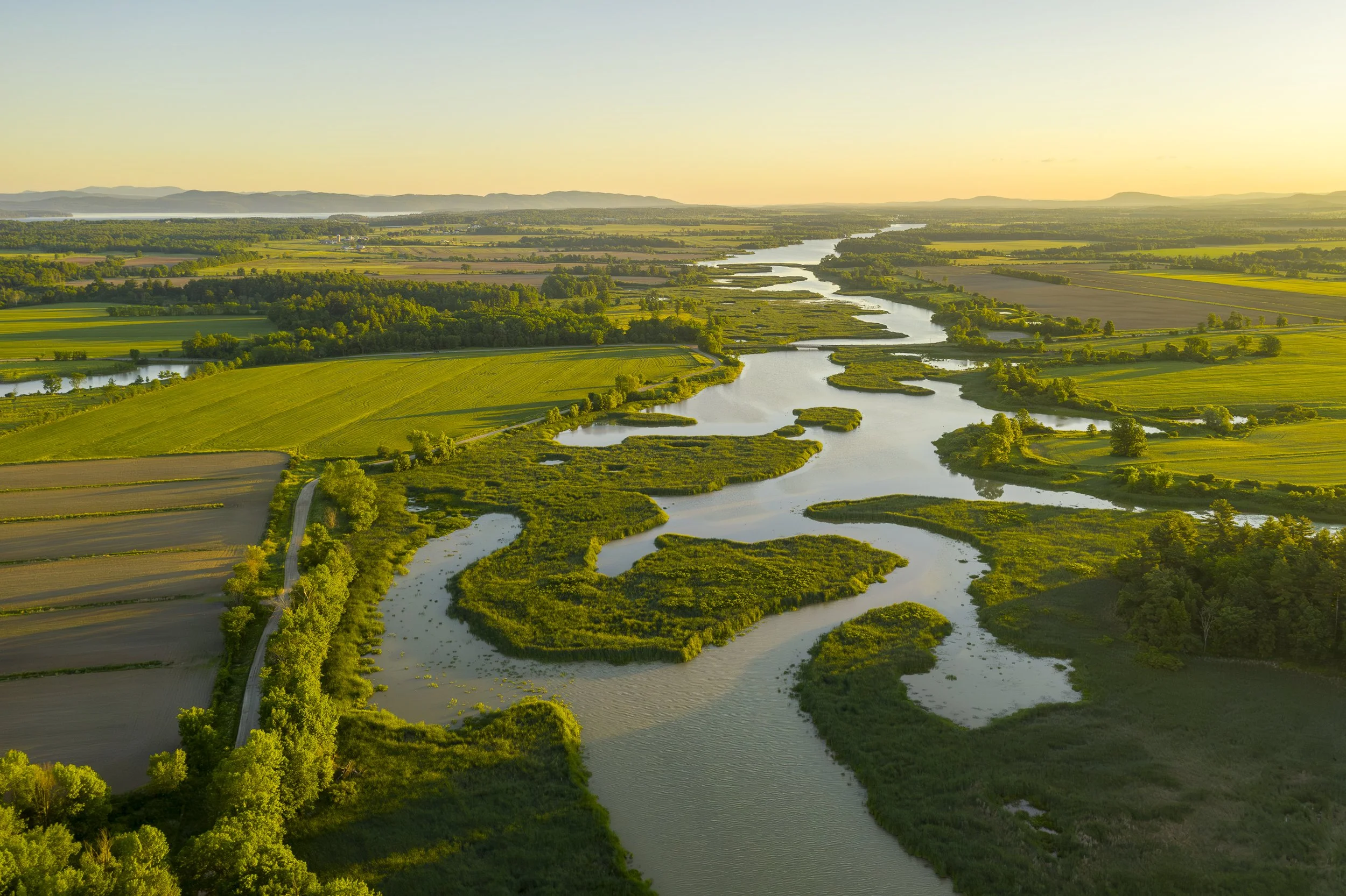
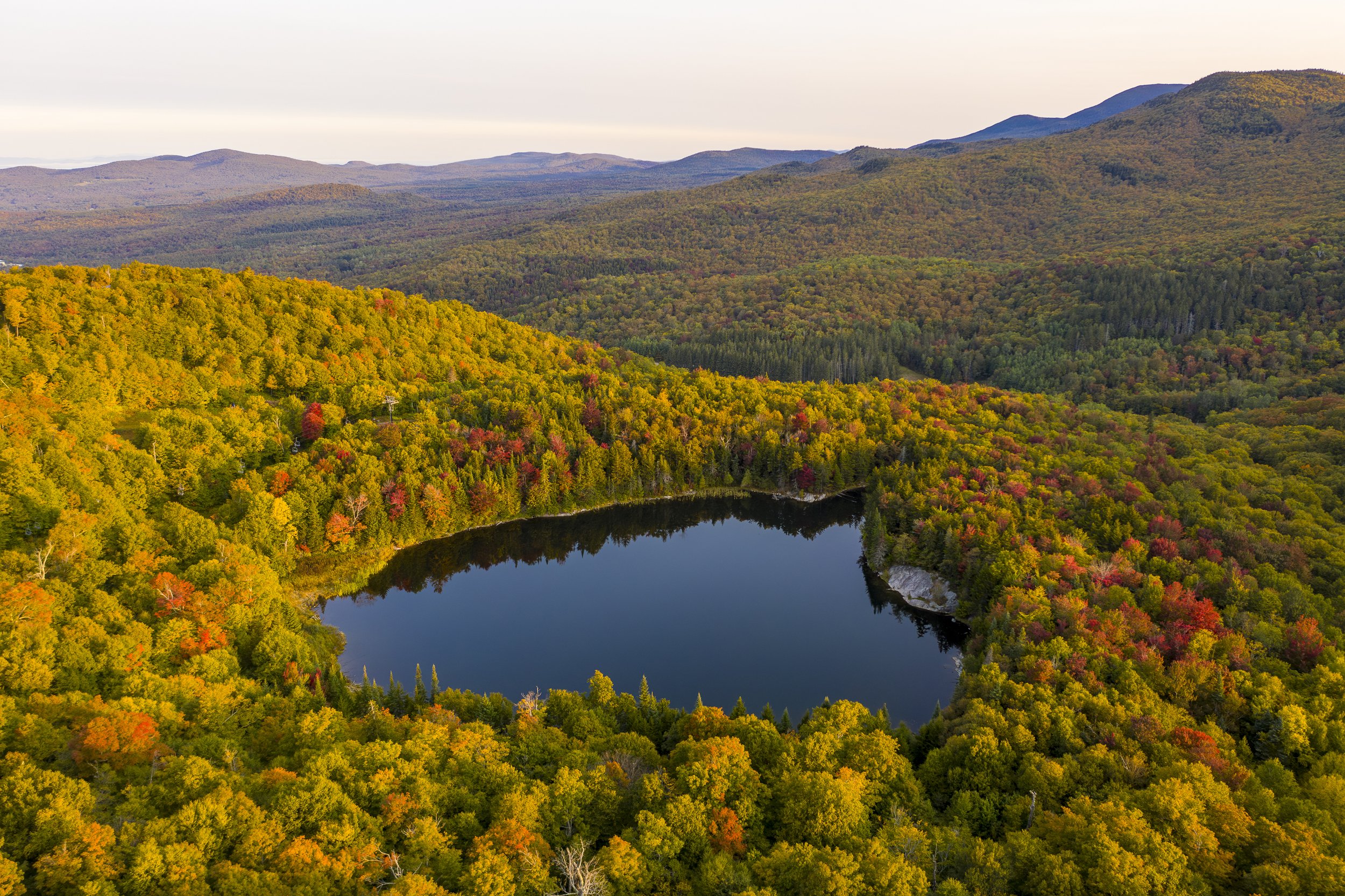
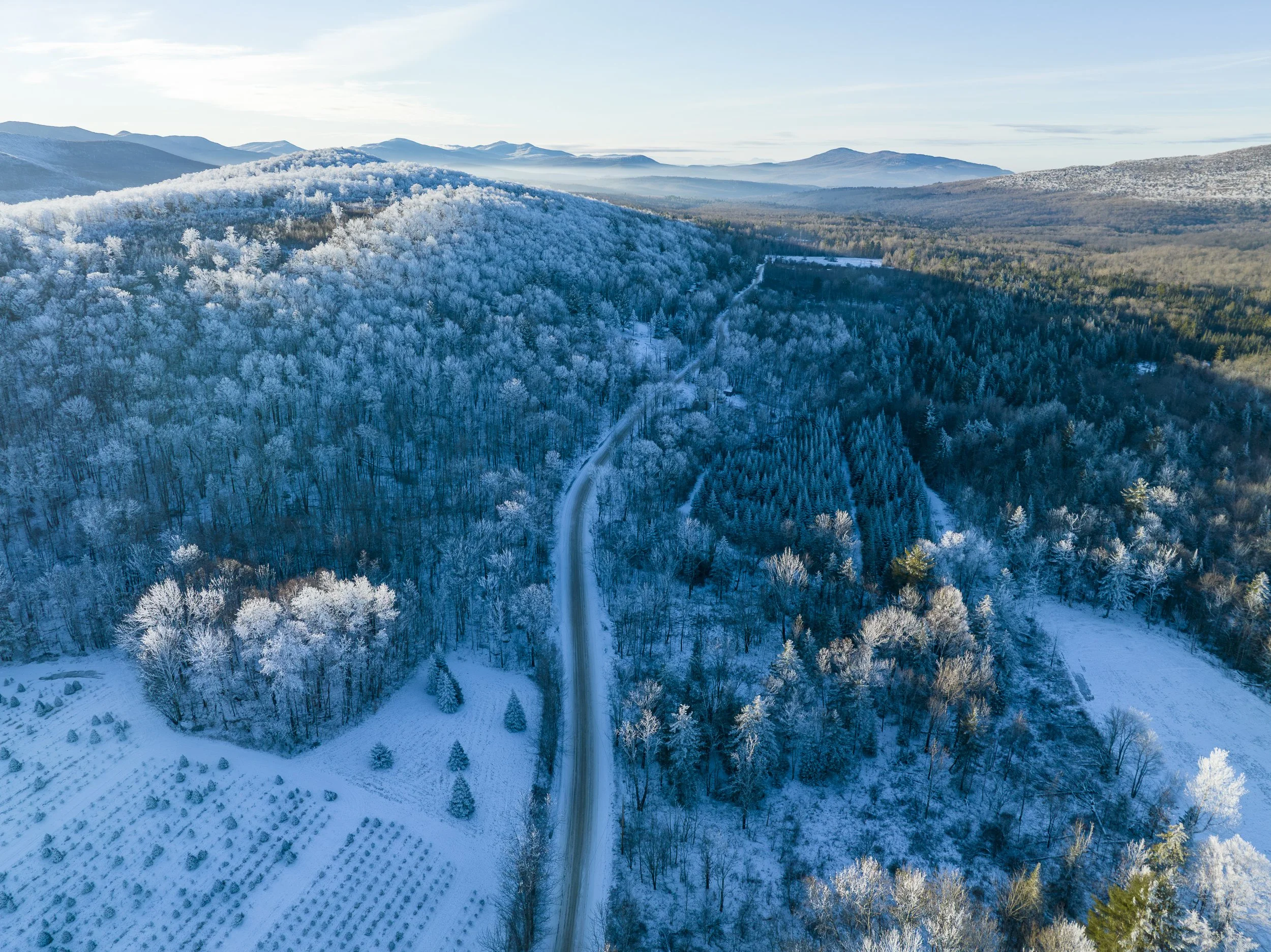
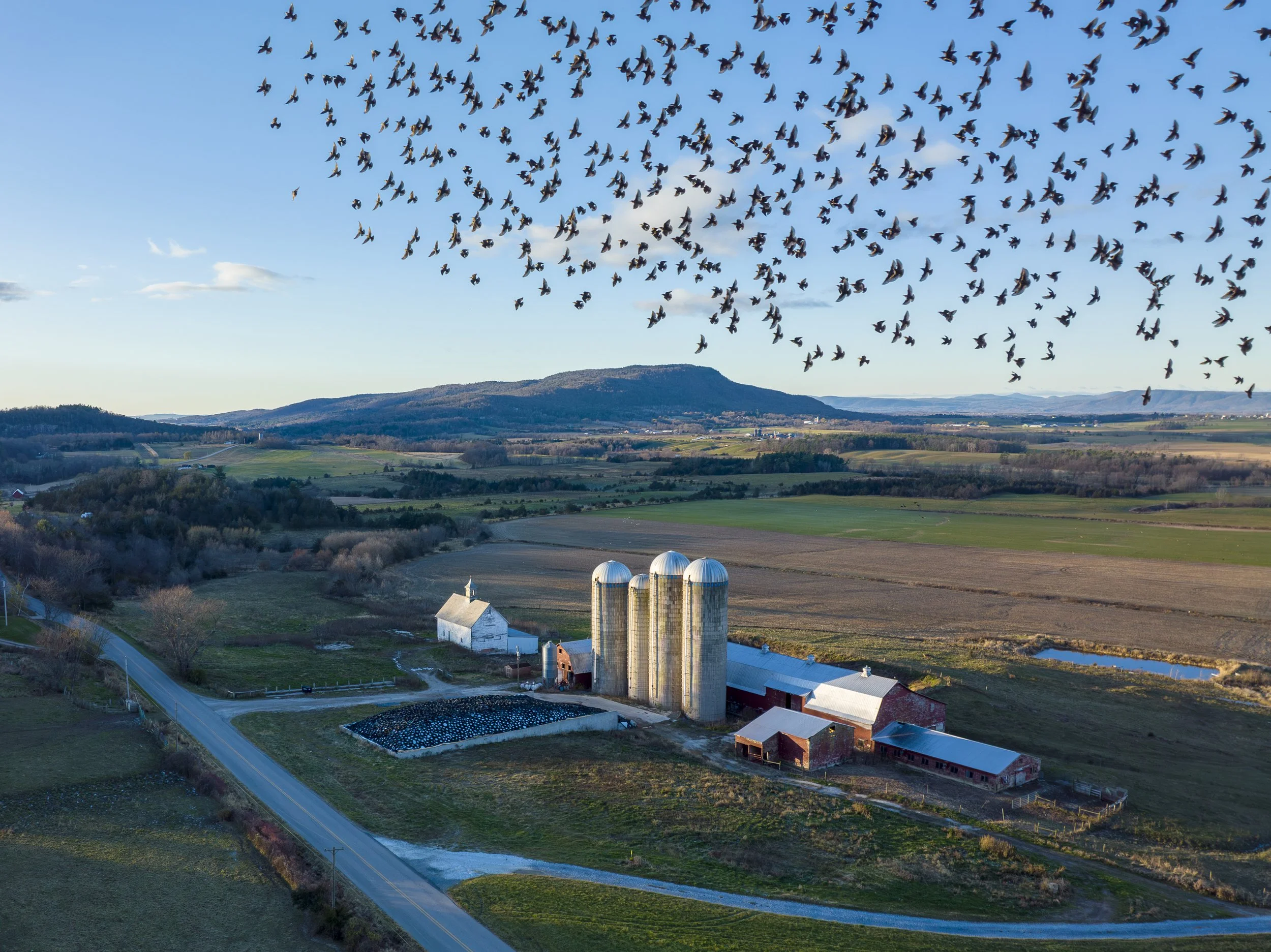
For more than thirty years I have photographed people, places, and communities for newspapers, magazines, and organizations throughout Vermont and beyond. In 2017, I began using drones to photograph Vermont's landscape from above, opening an entirely new chapter in my work.
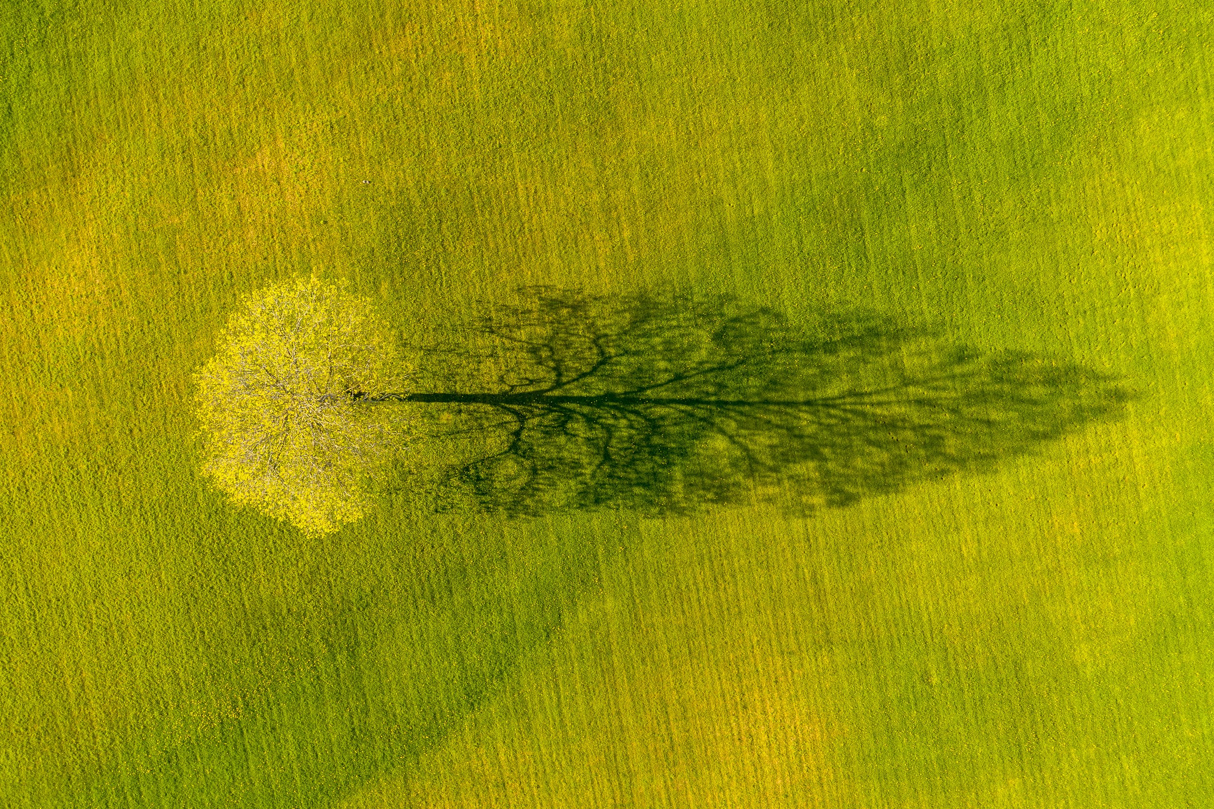
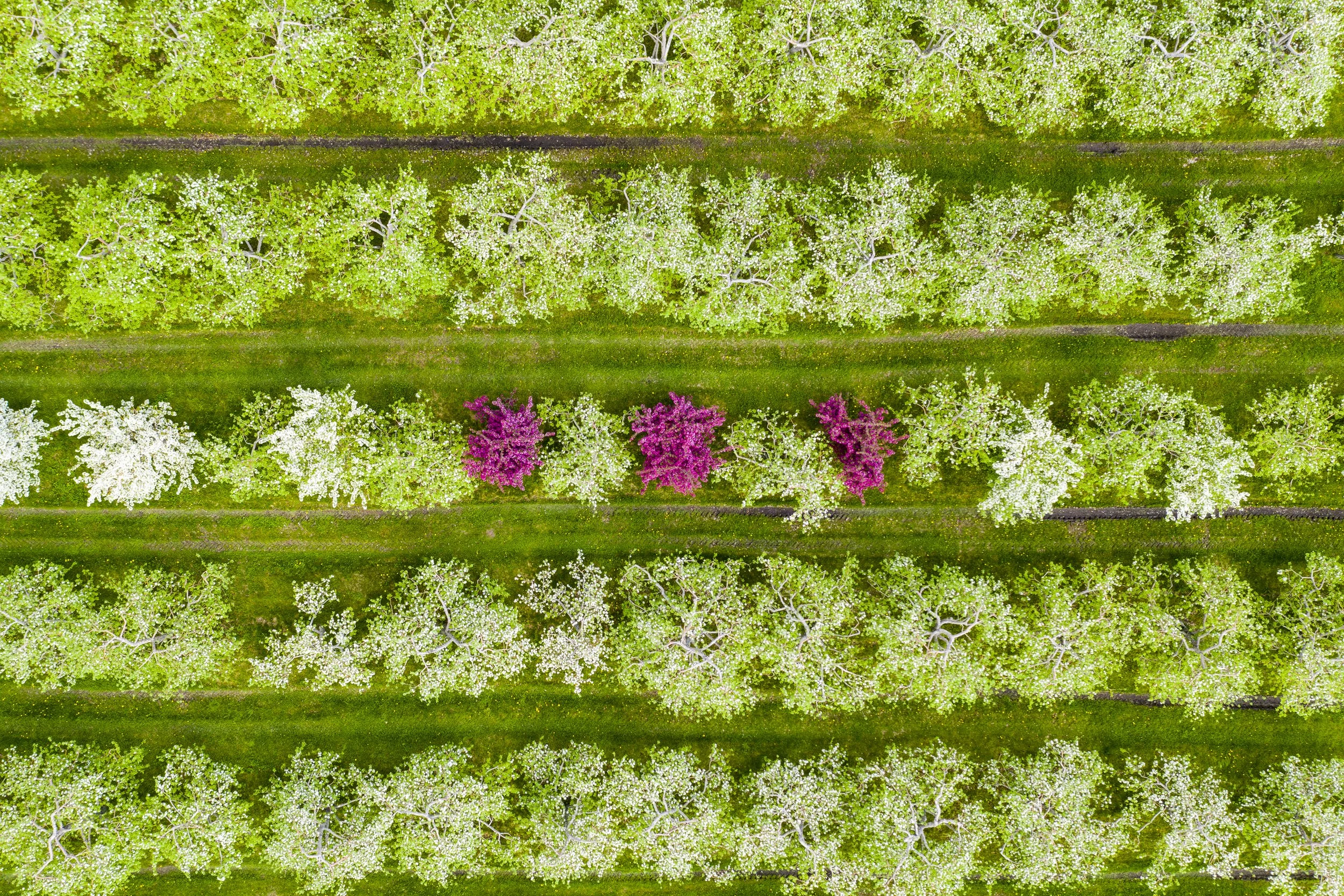
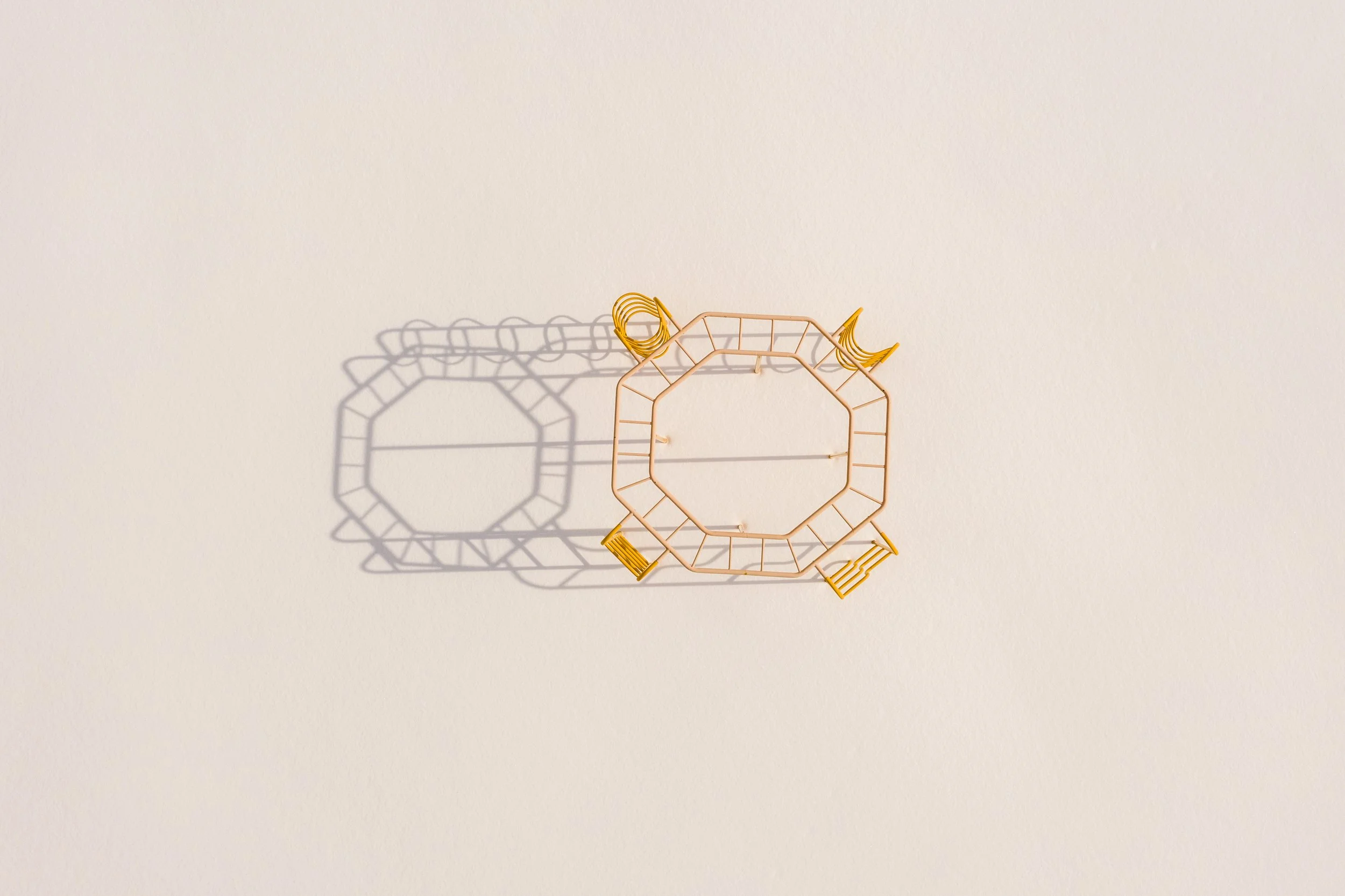
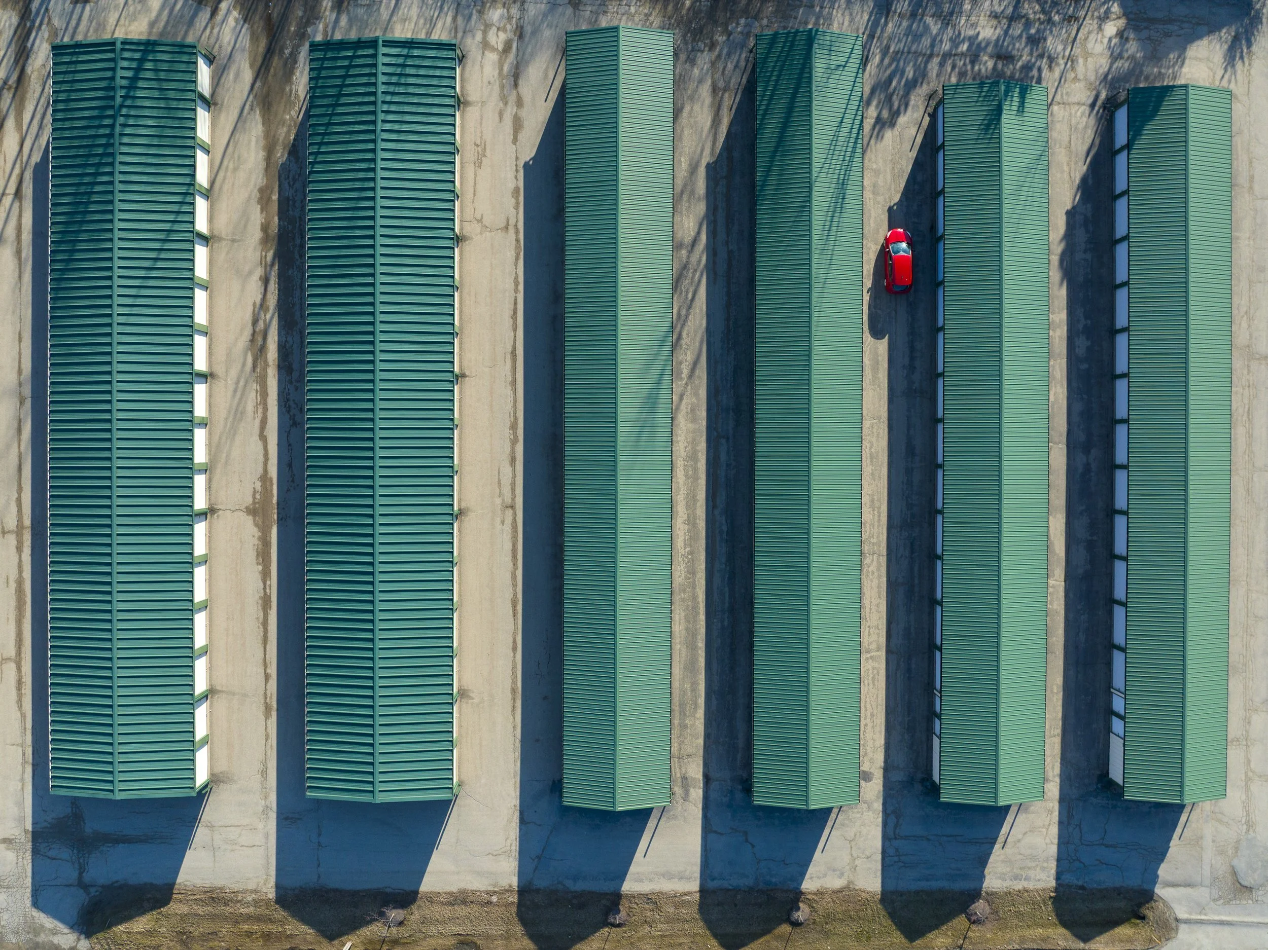
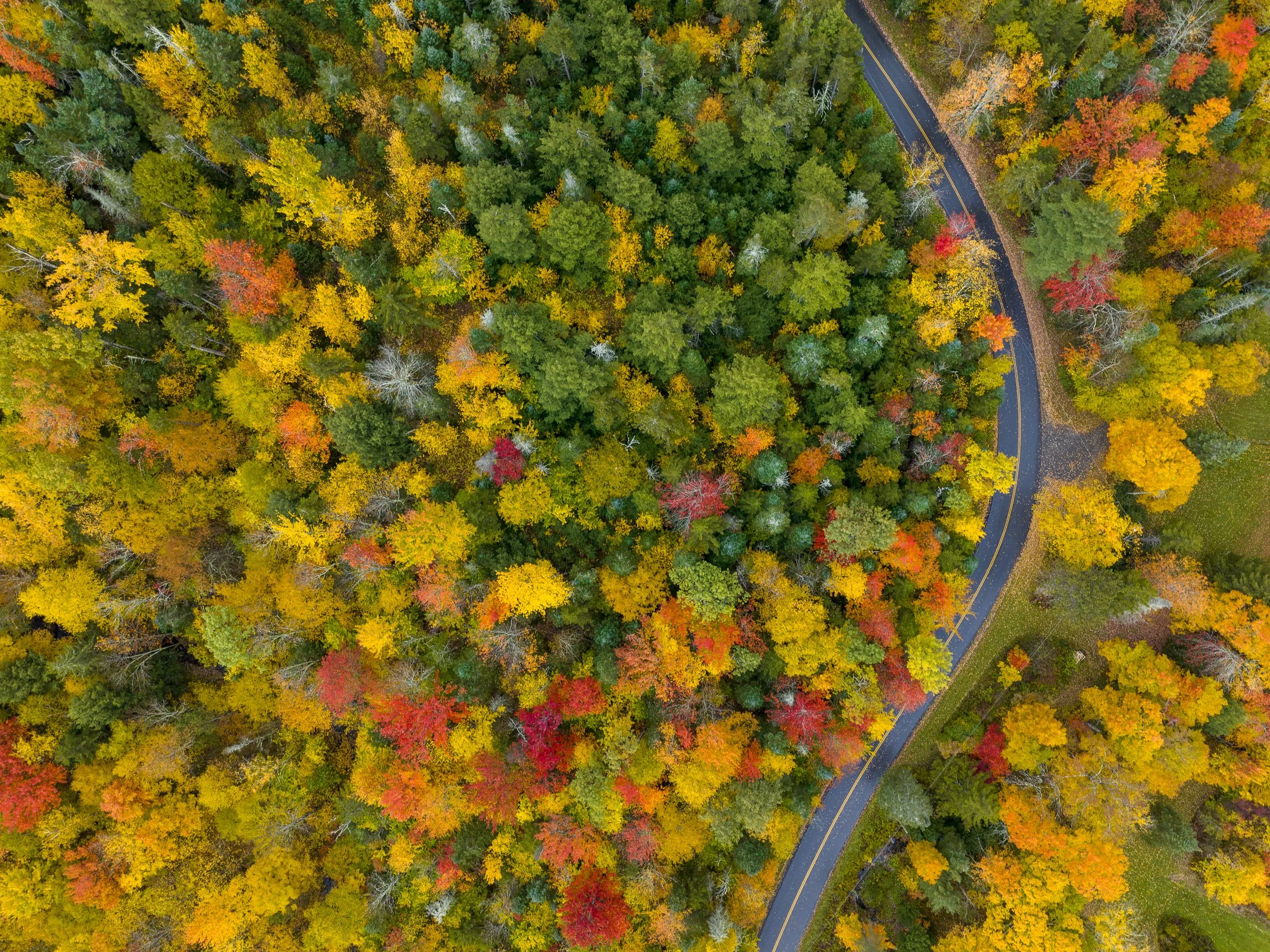
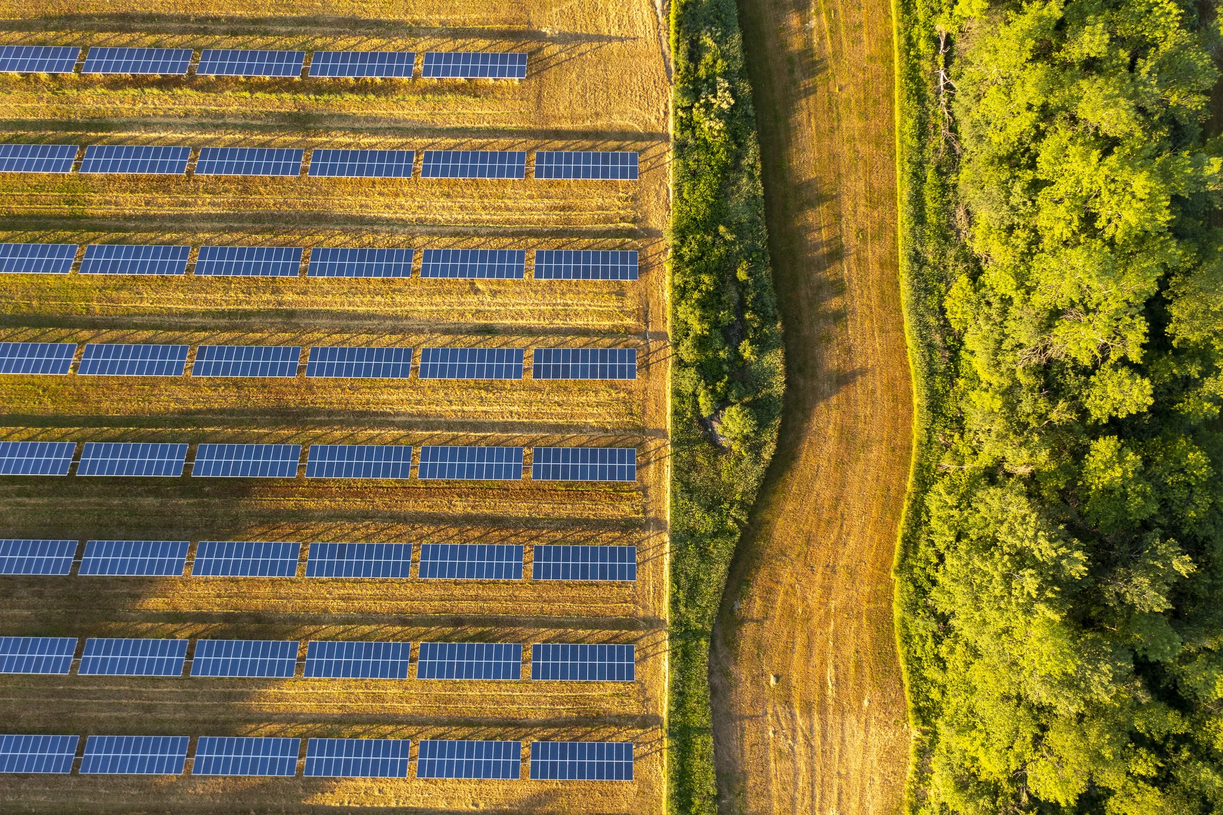
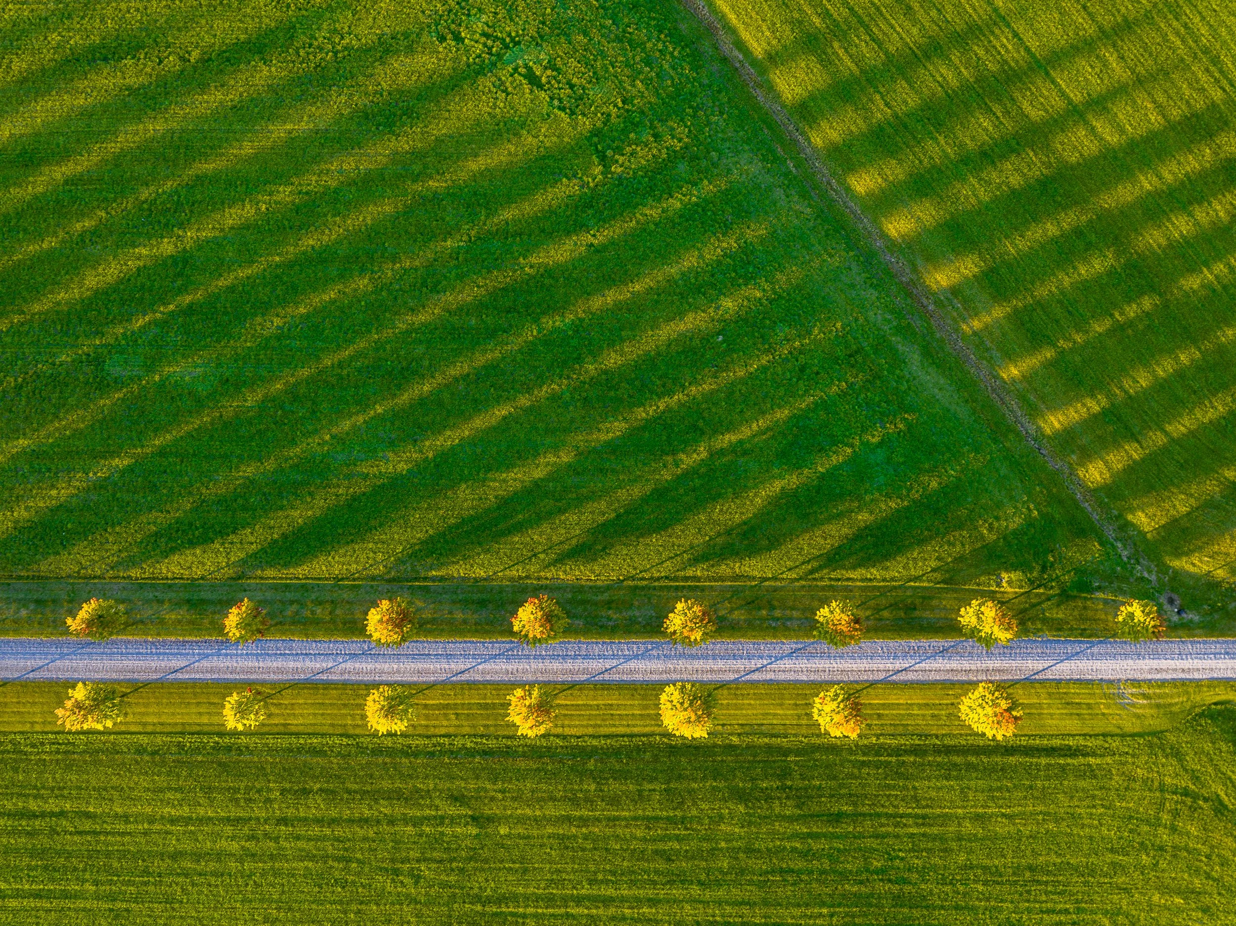
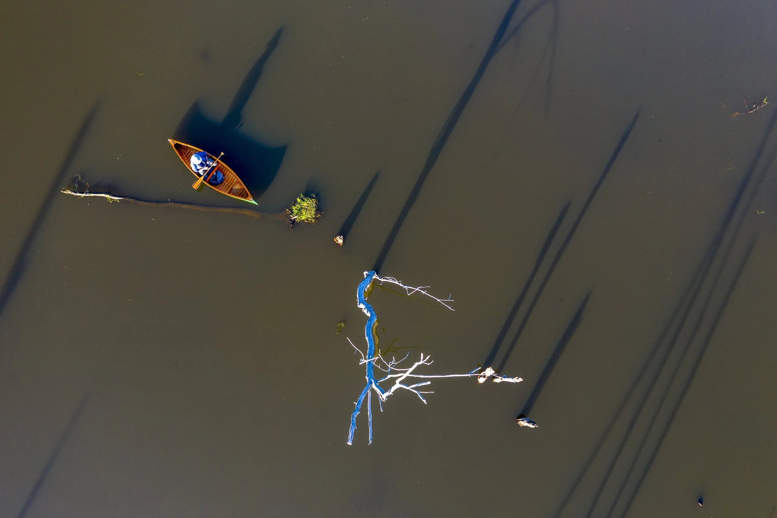
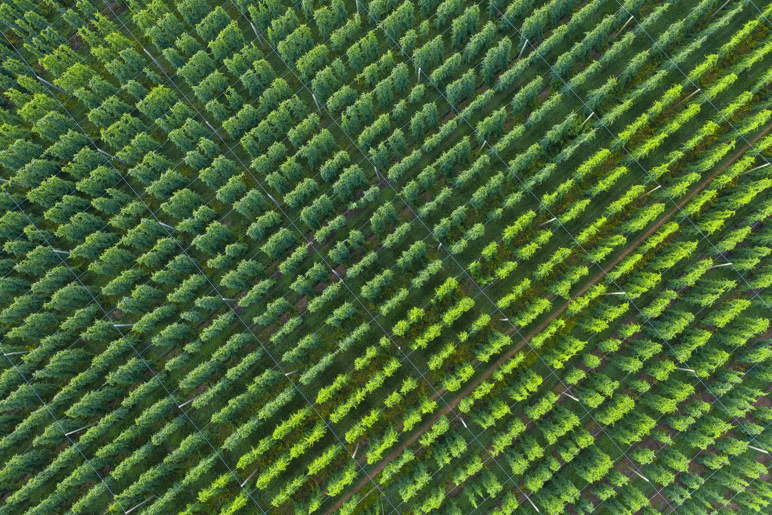
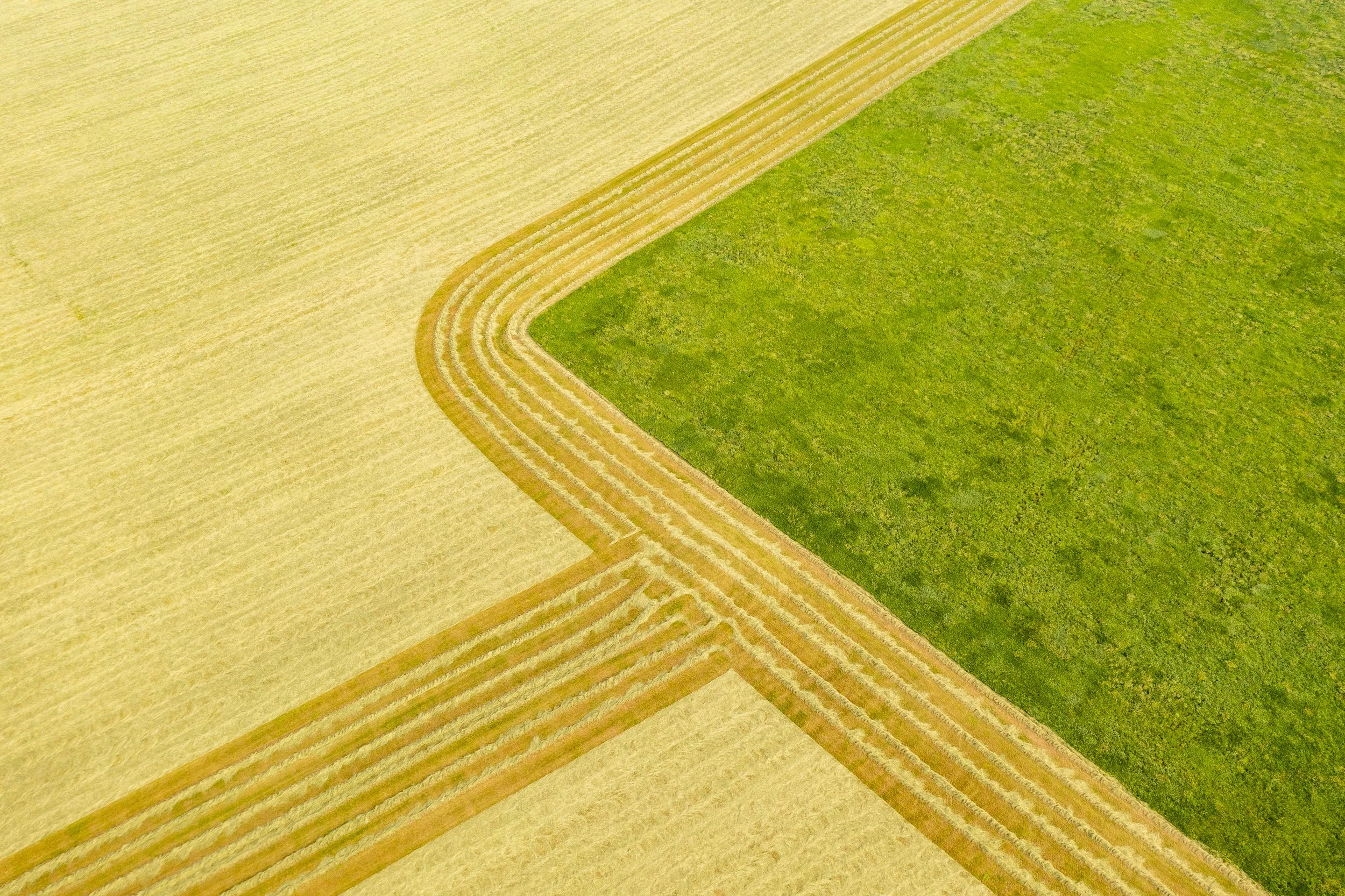
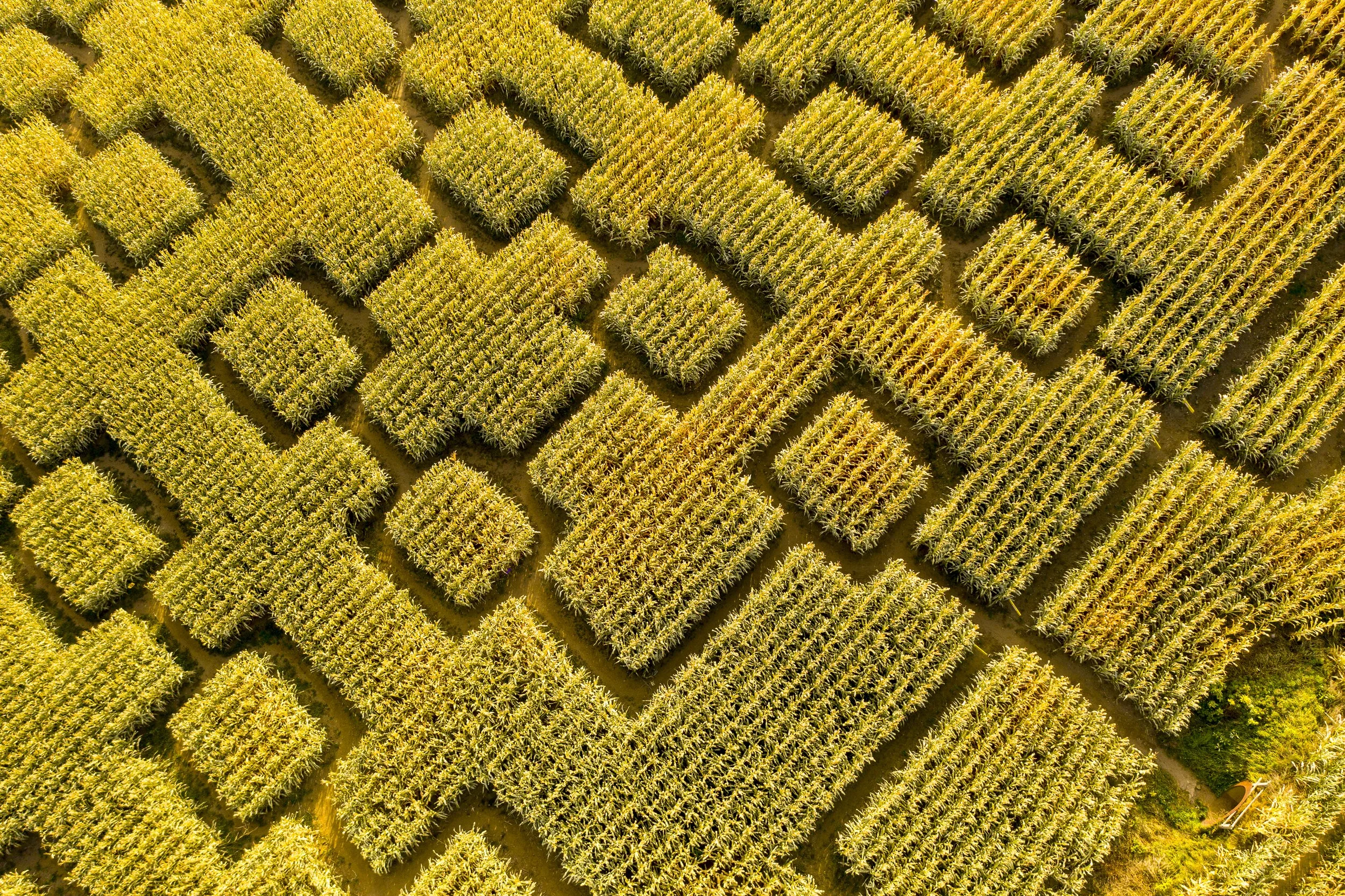
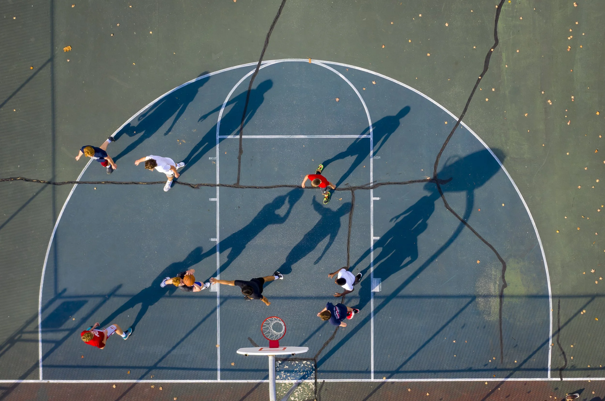
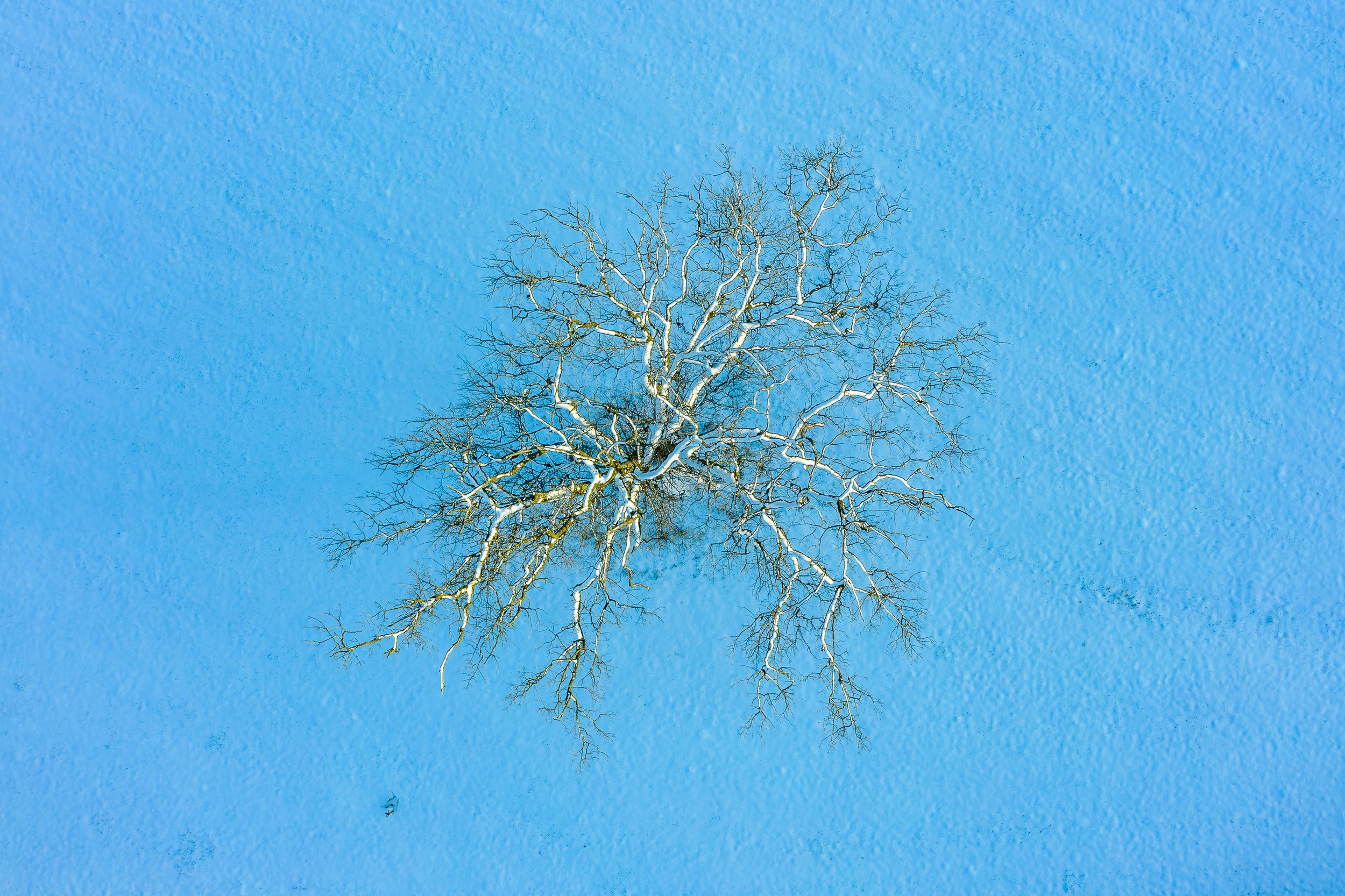
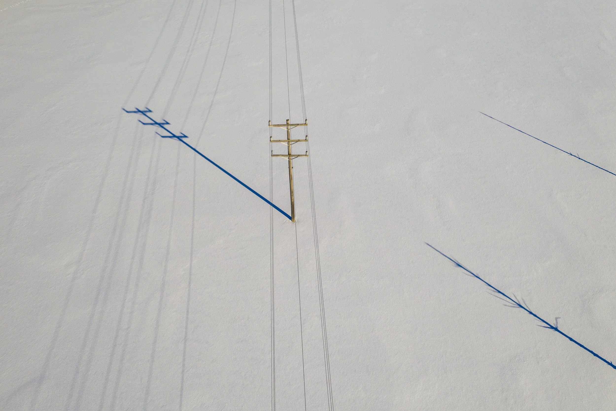
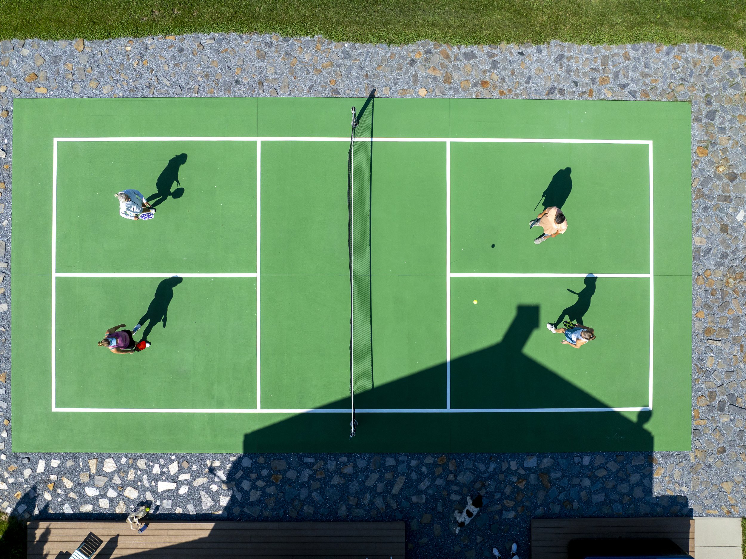
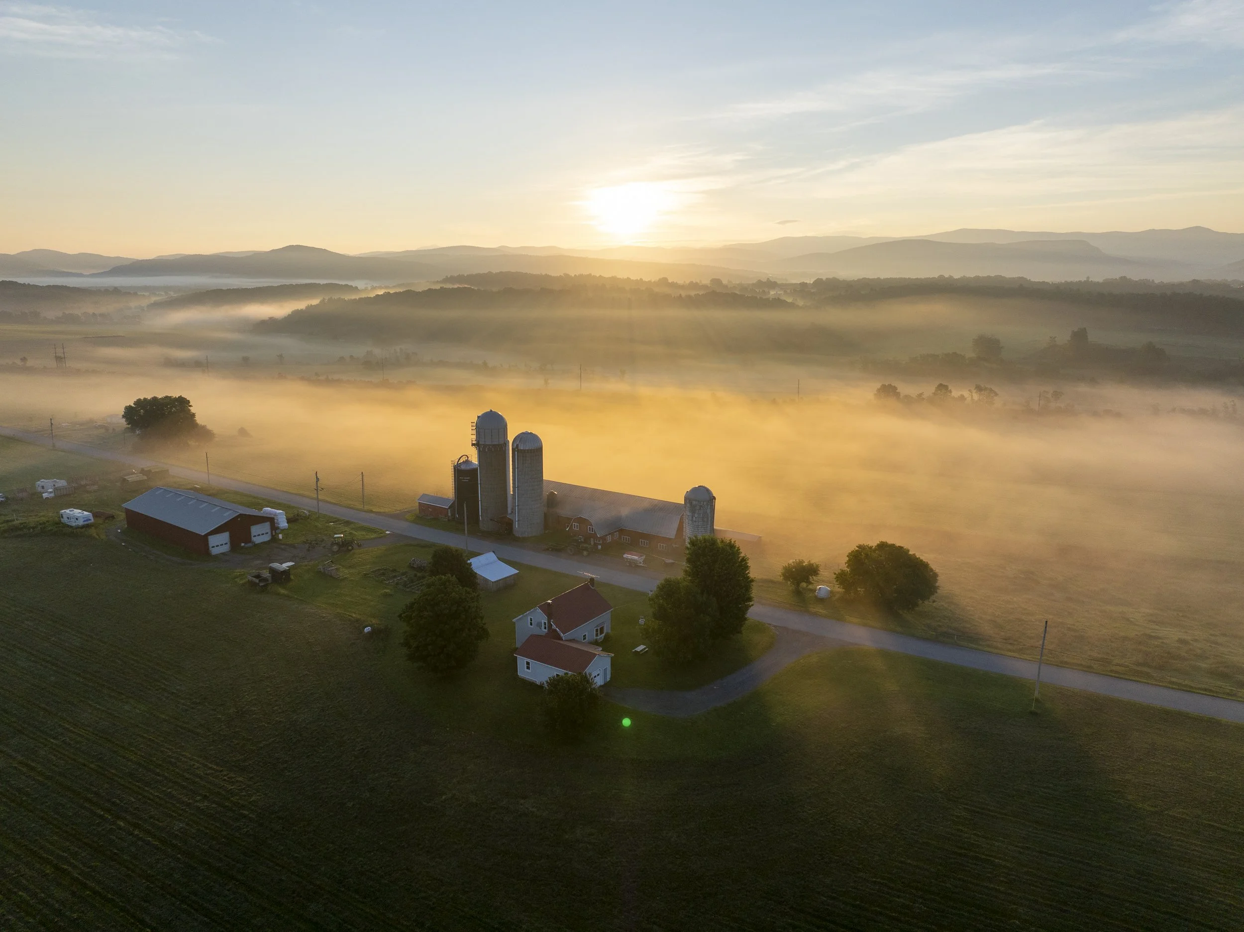
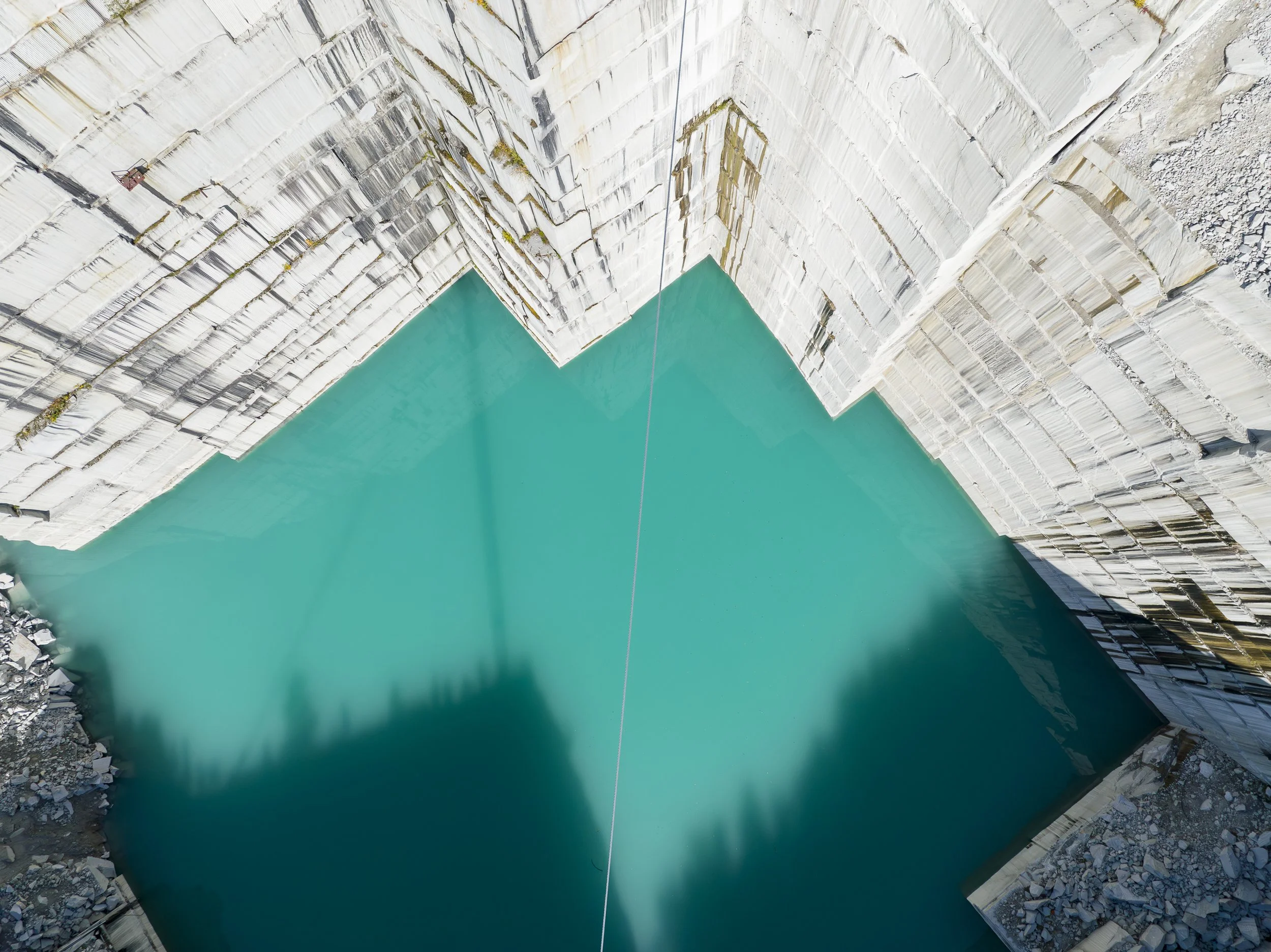
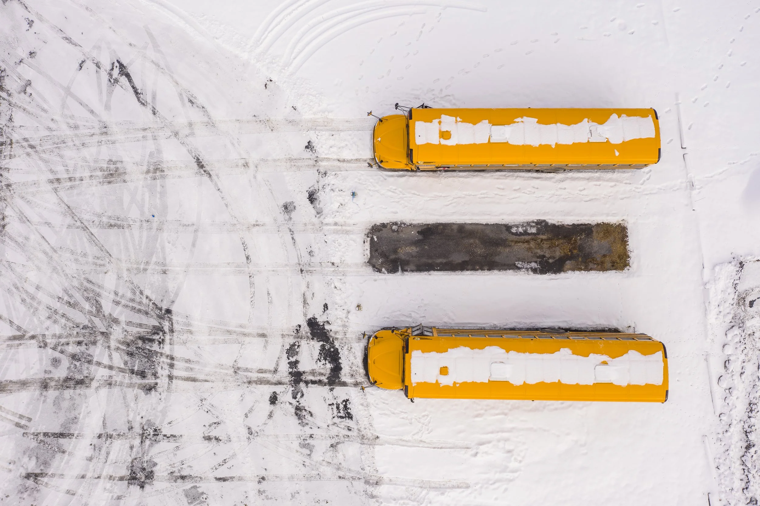
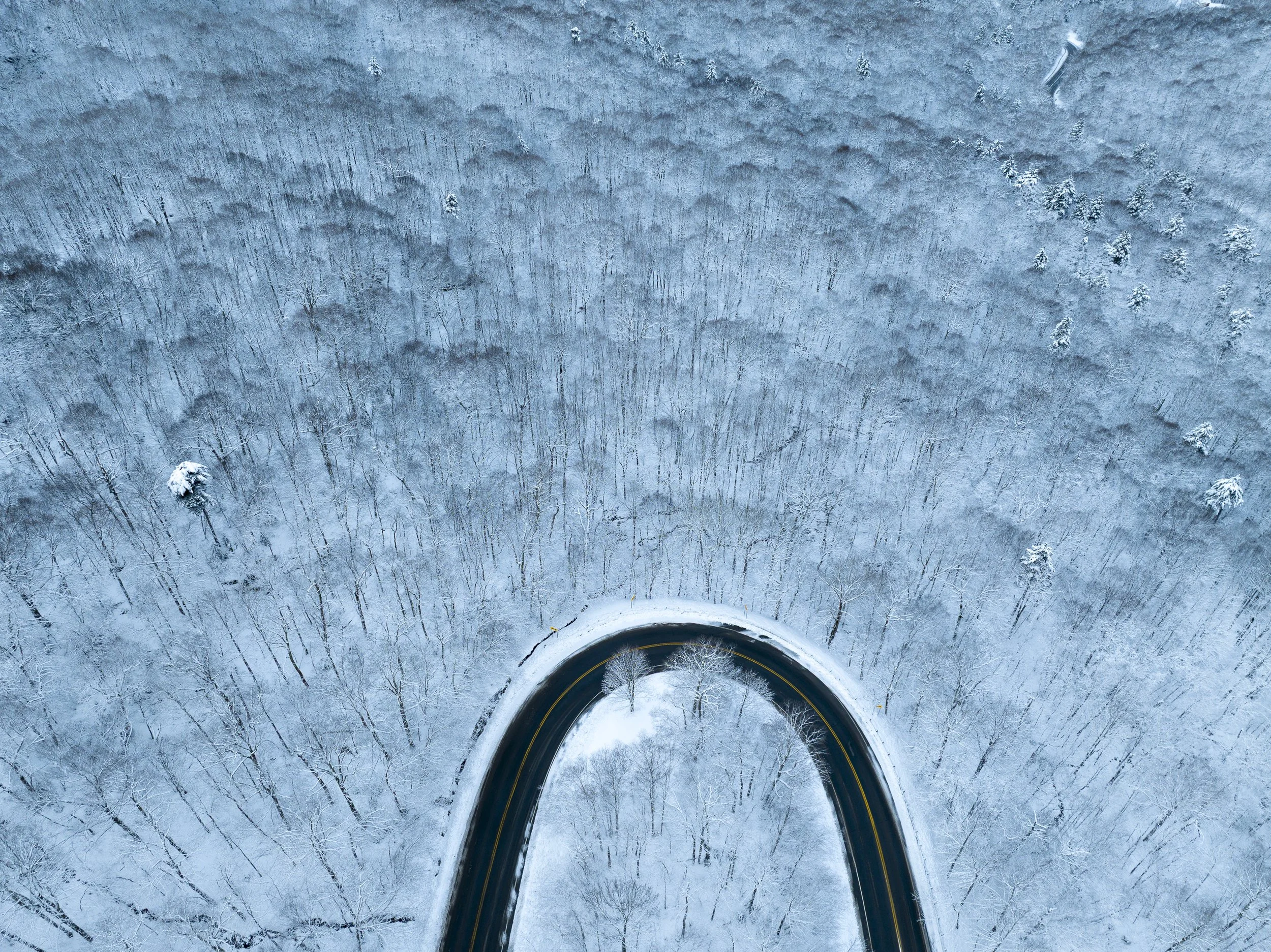
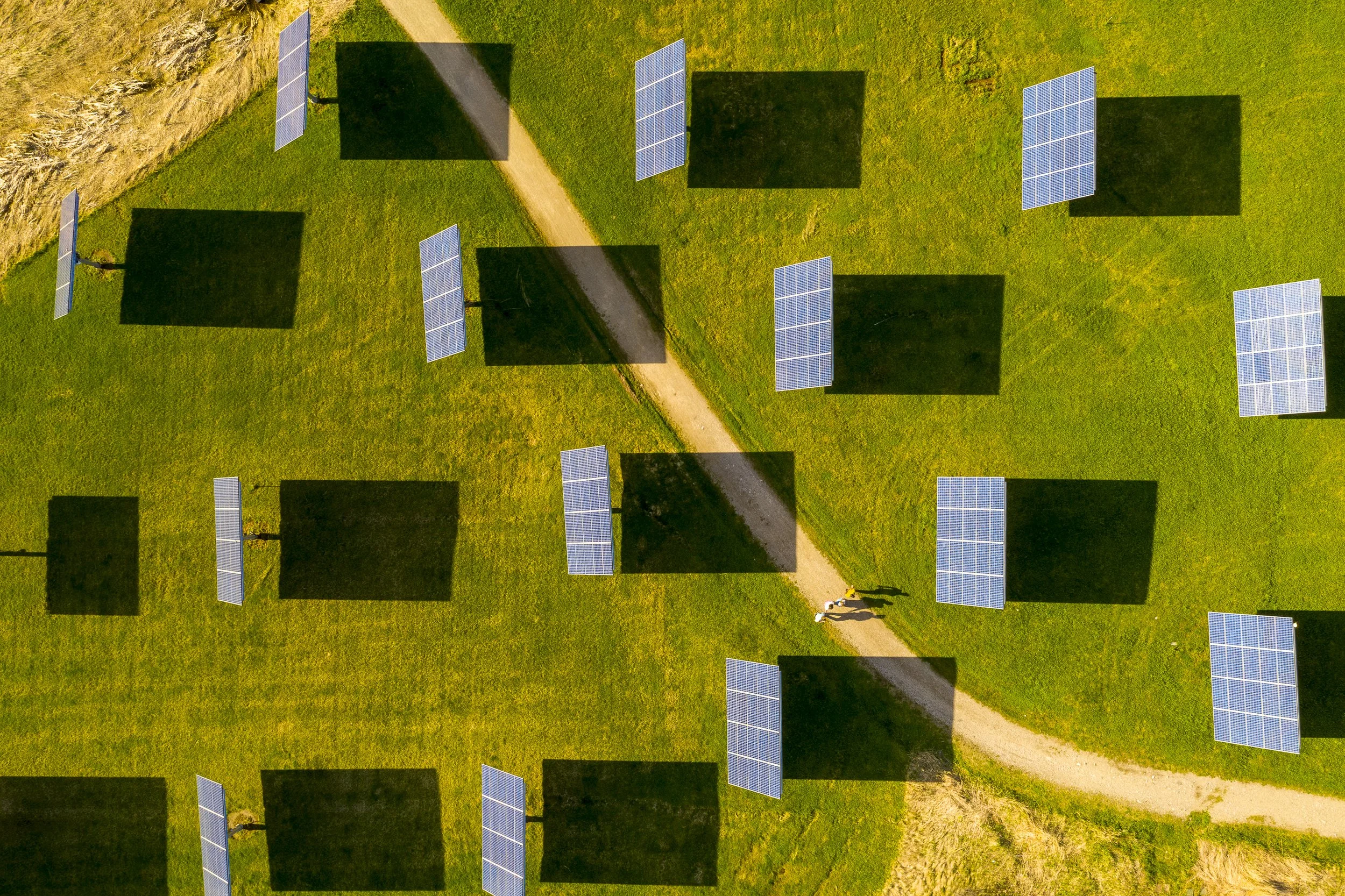
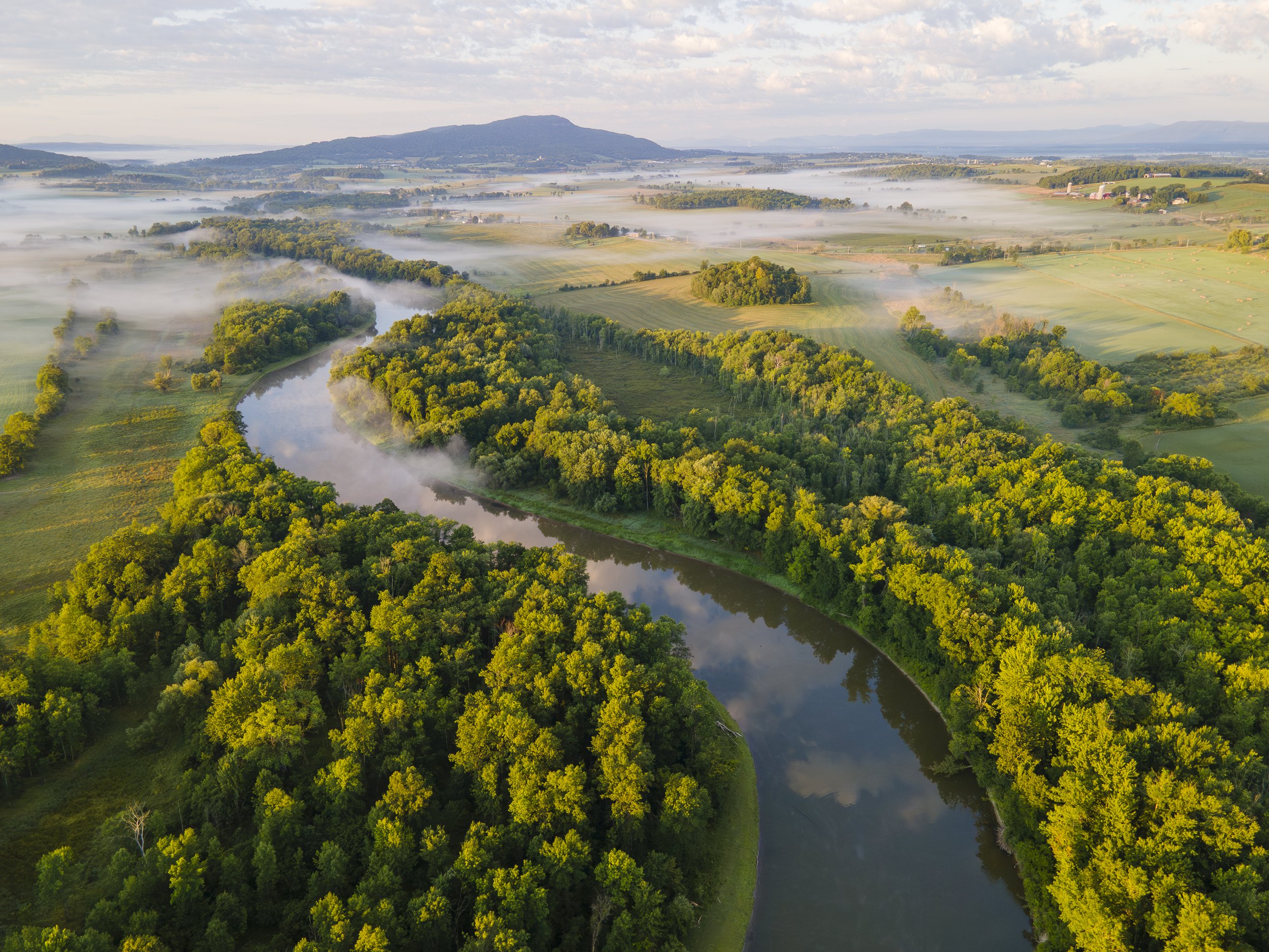
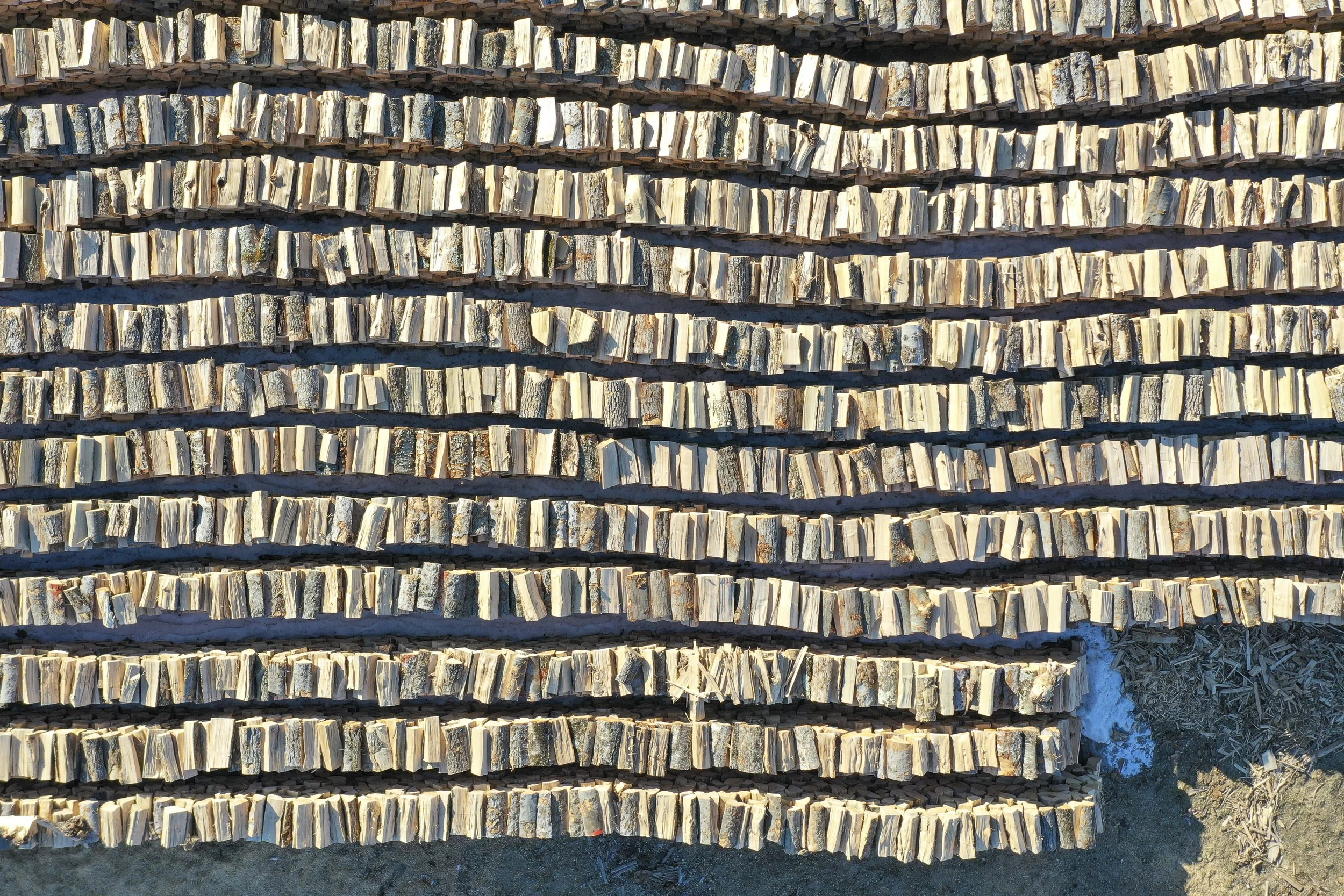
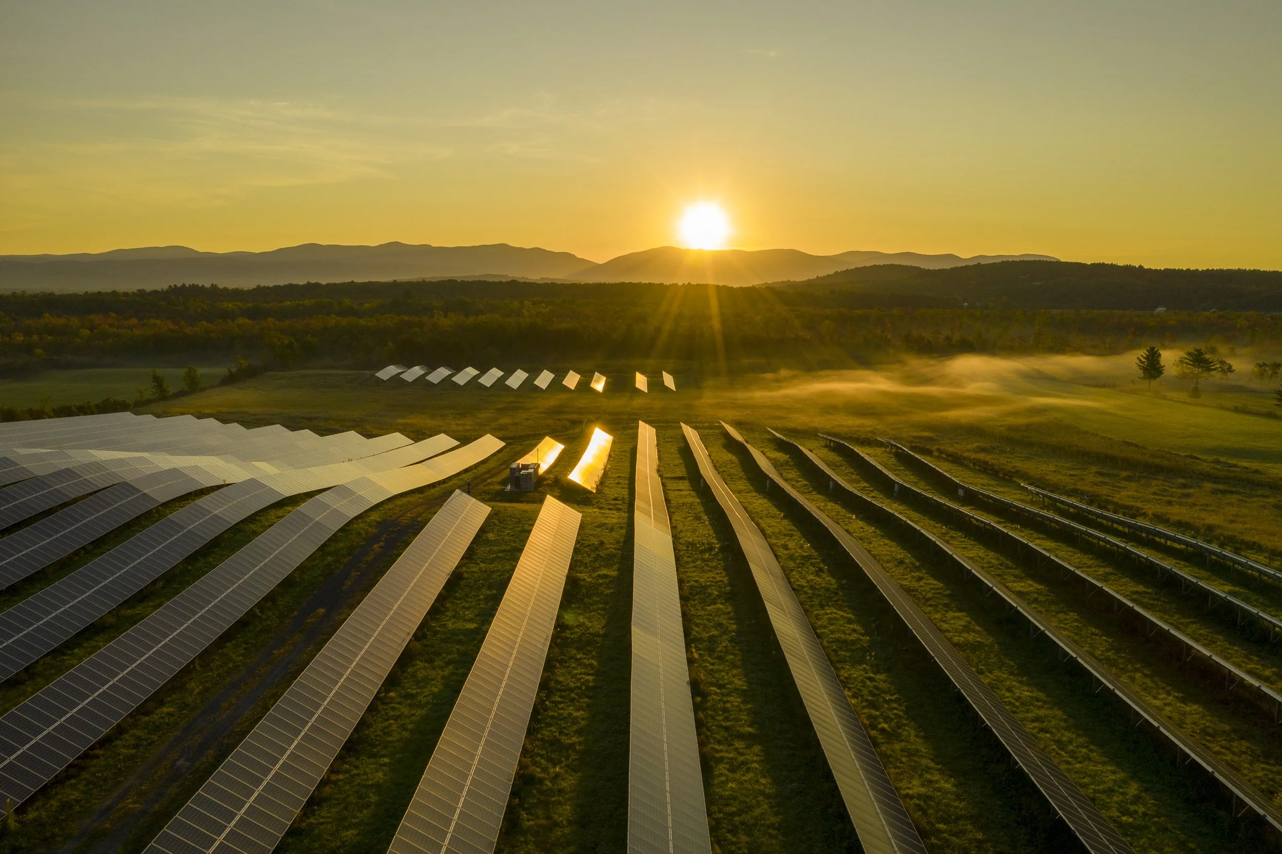
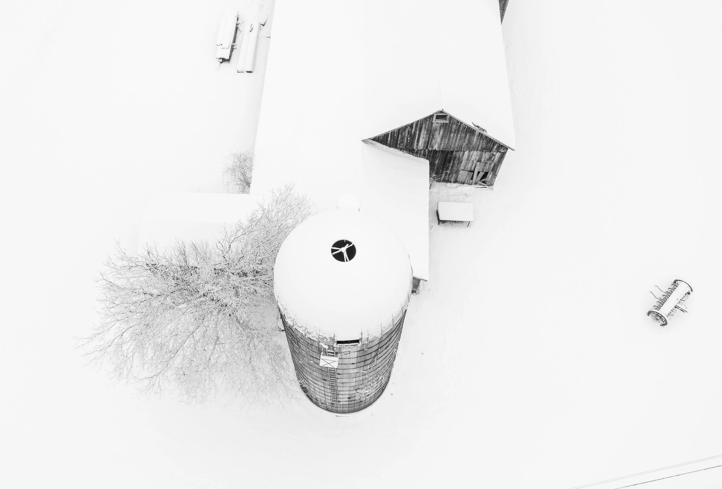
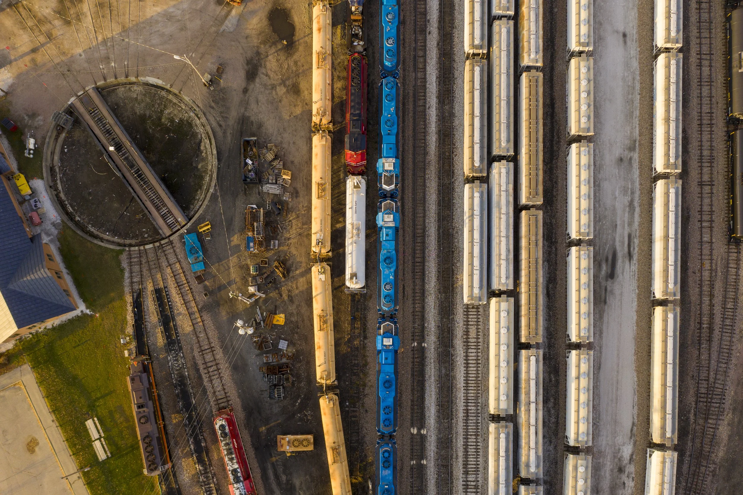
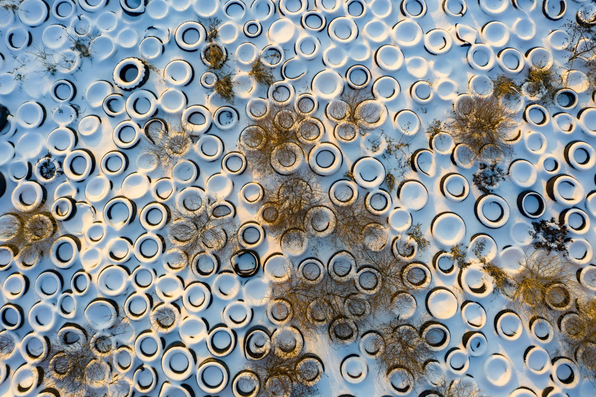
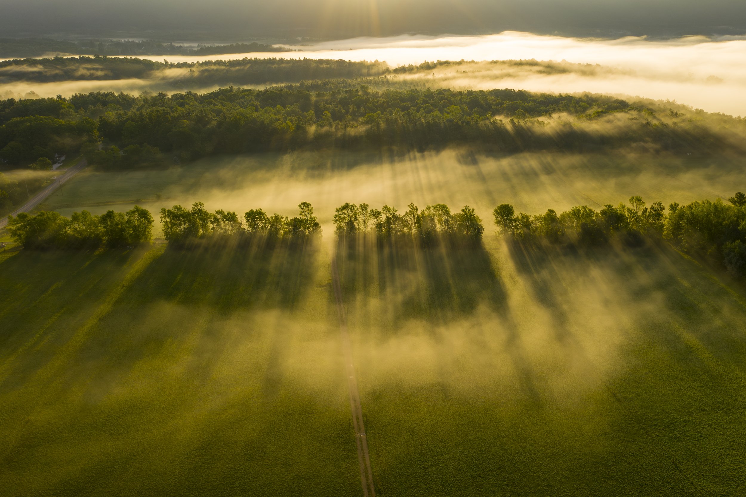
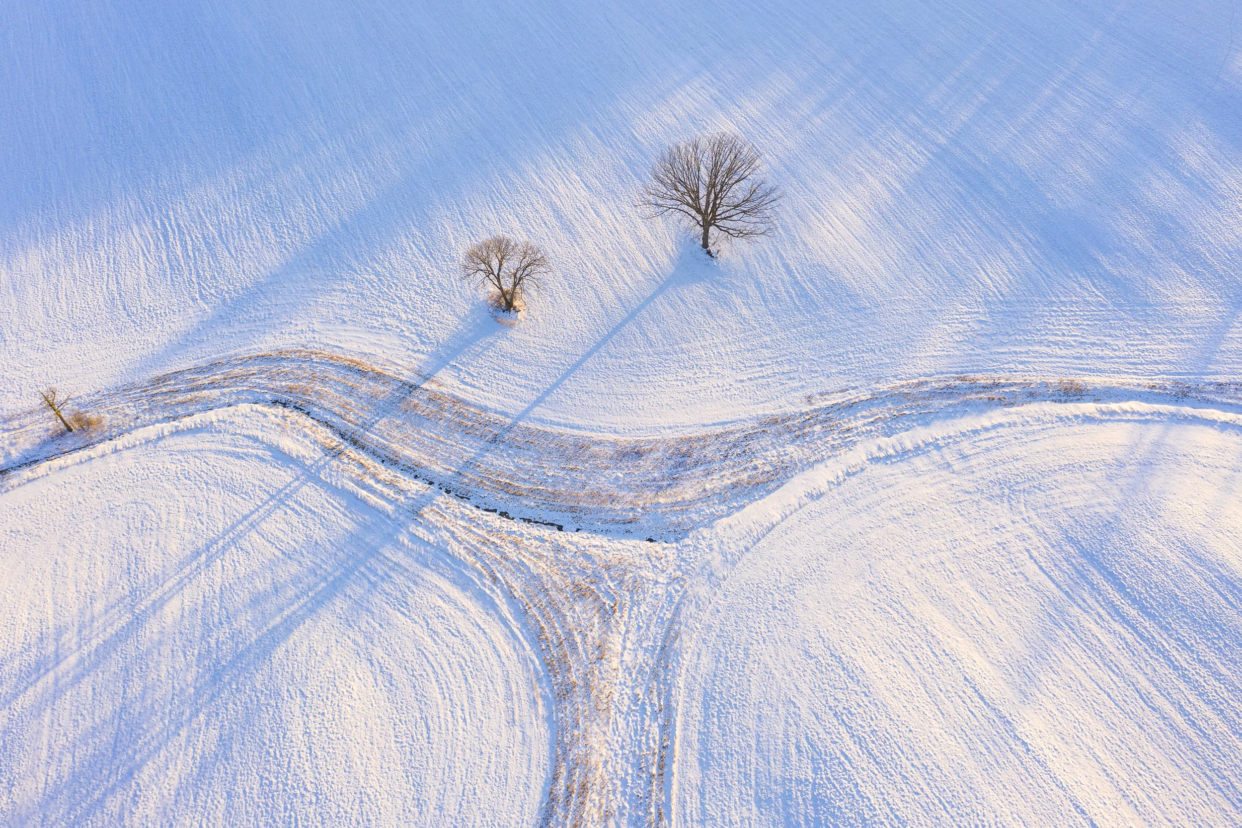
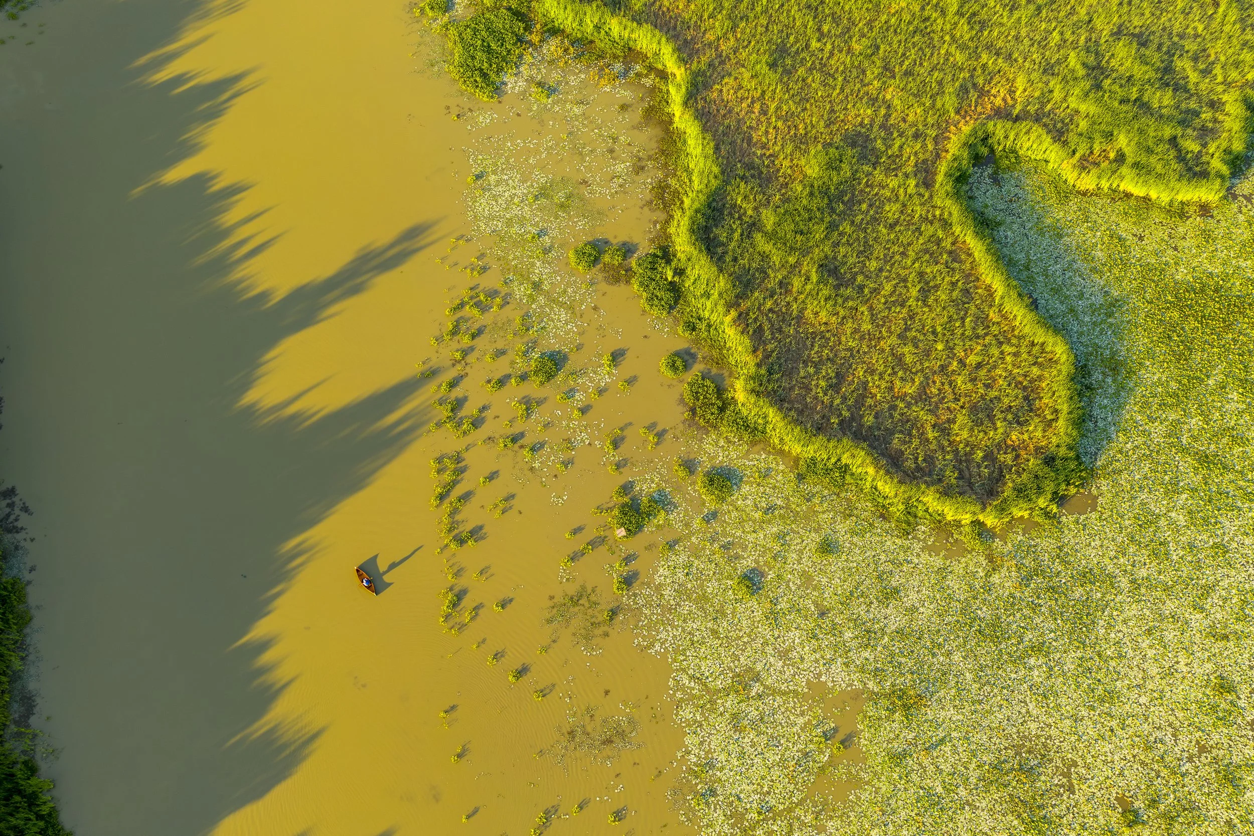
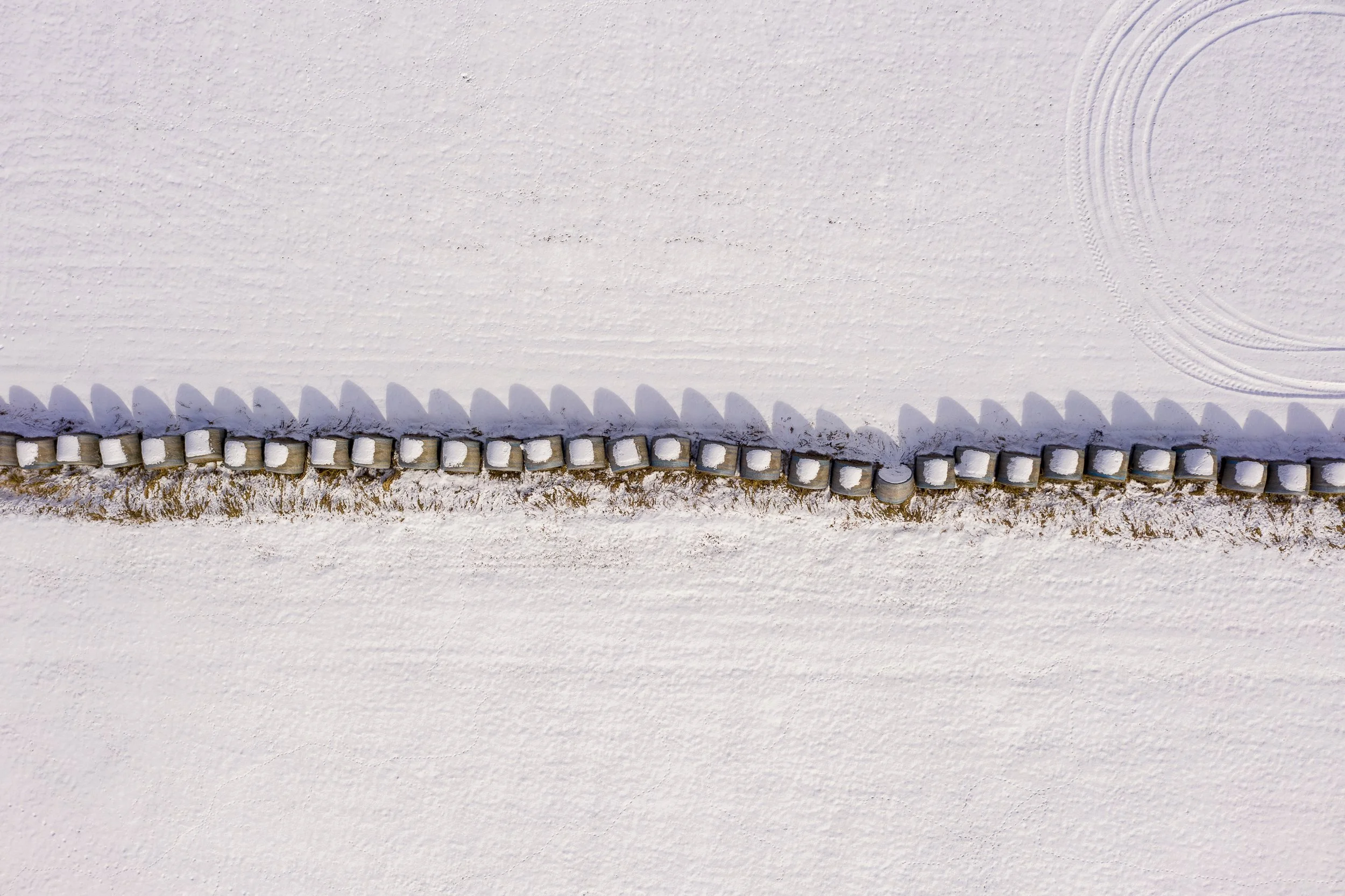
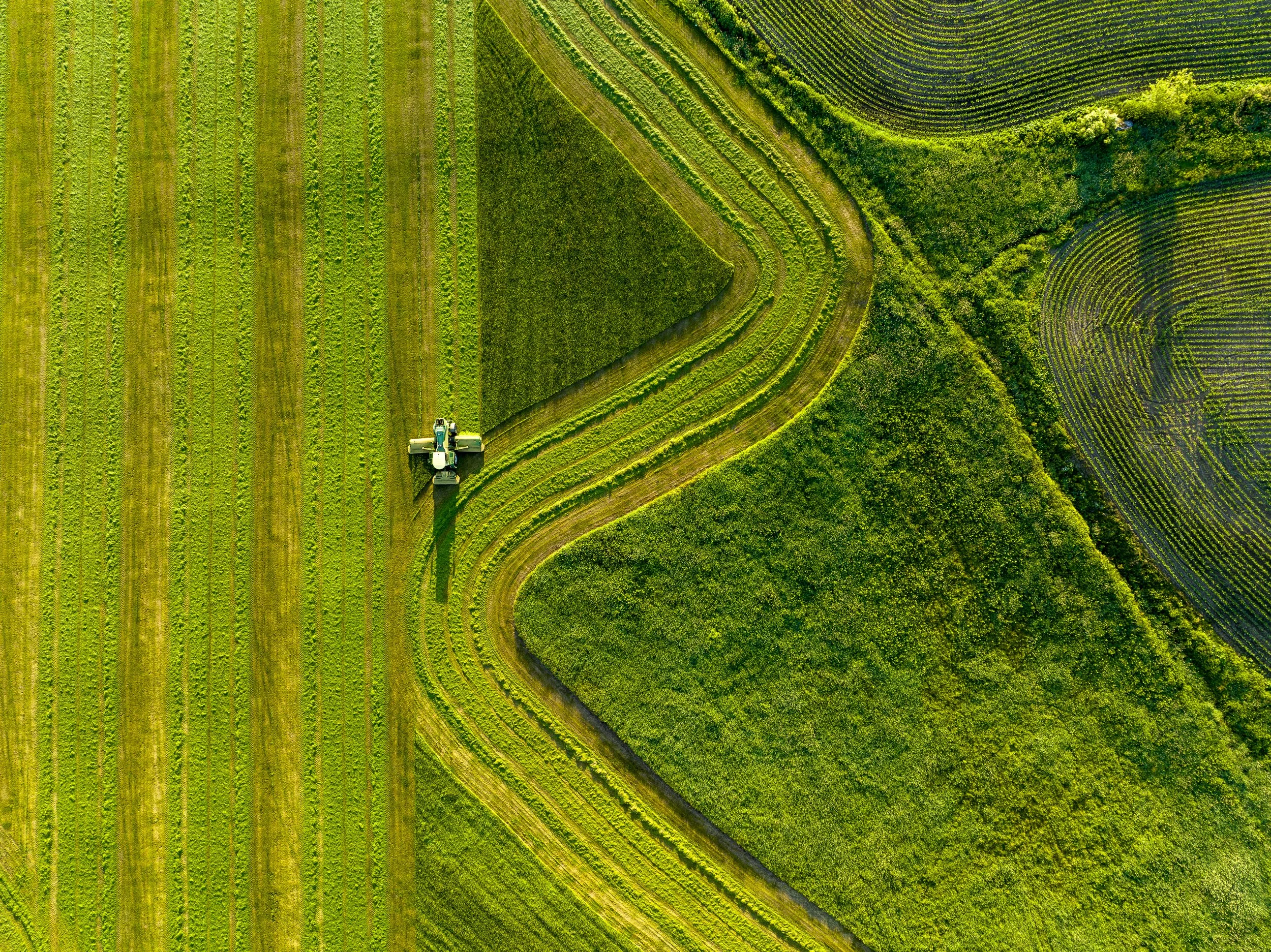
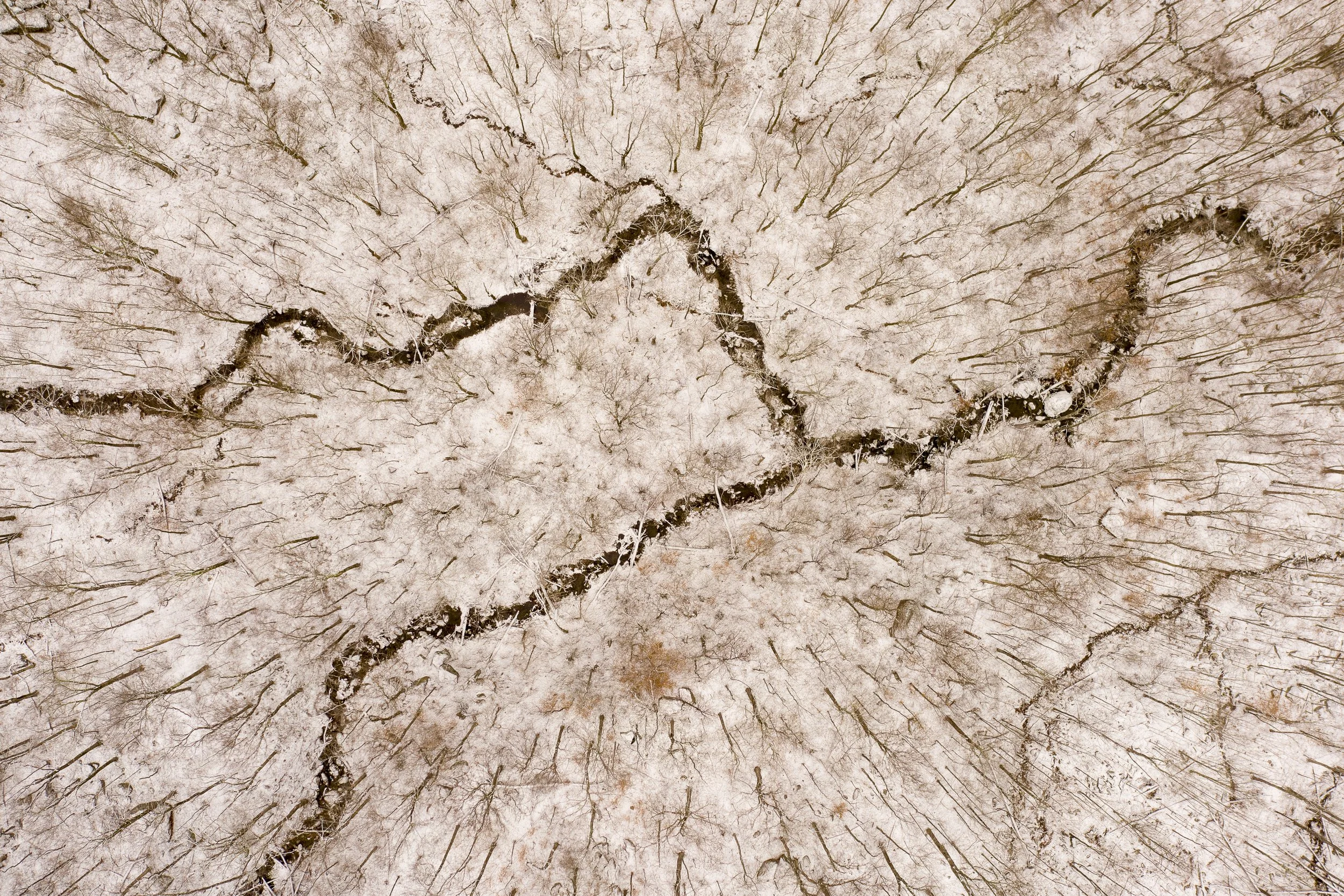
At first, I flew as high as possible—up to the FAA limit of 400 feet—making images that often felt distant and impersonal. During the pandemic, I began flying lower and looking more carefully. I discovered that a subtle change in perspective revealed unexpected patterns, textures, light, and geometry hidden within familiar landscapes.
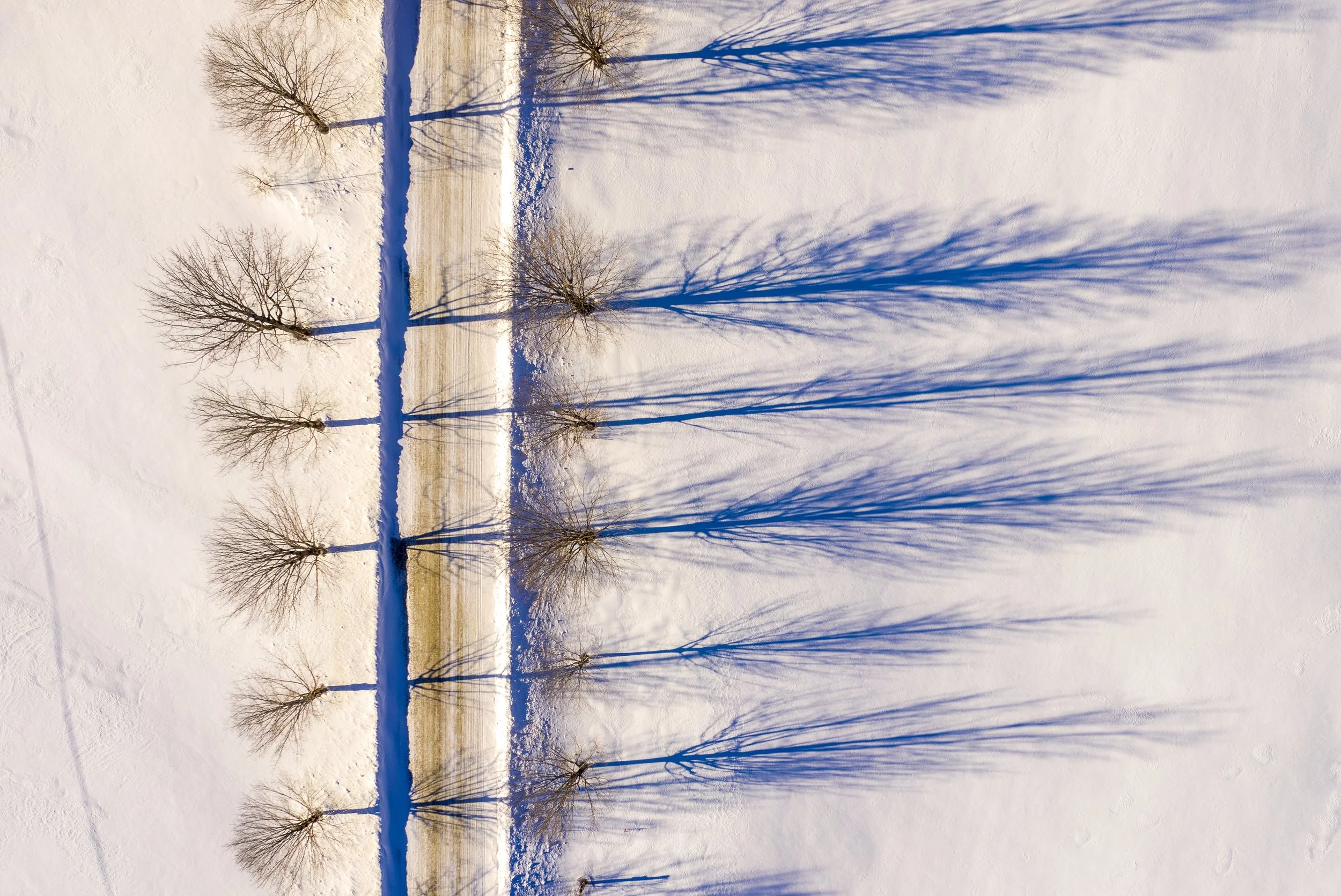
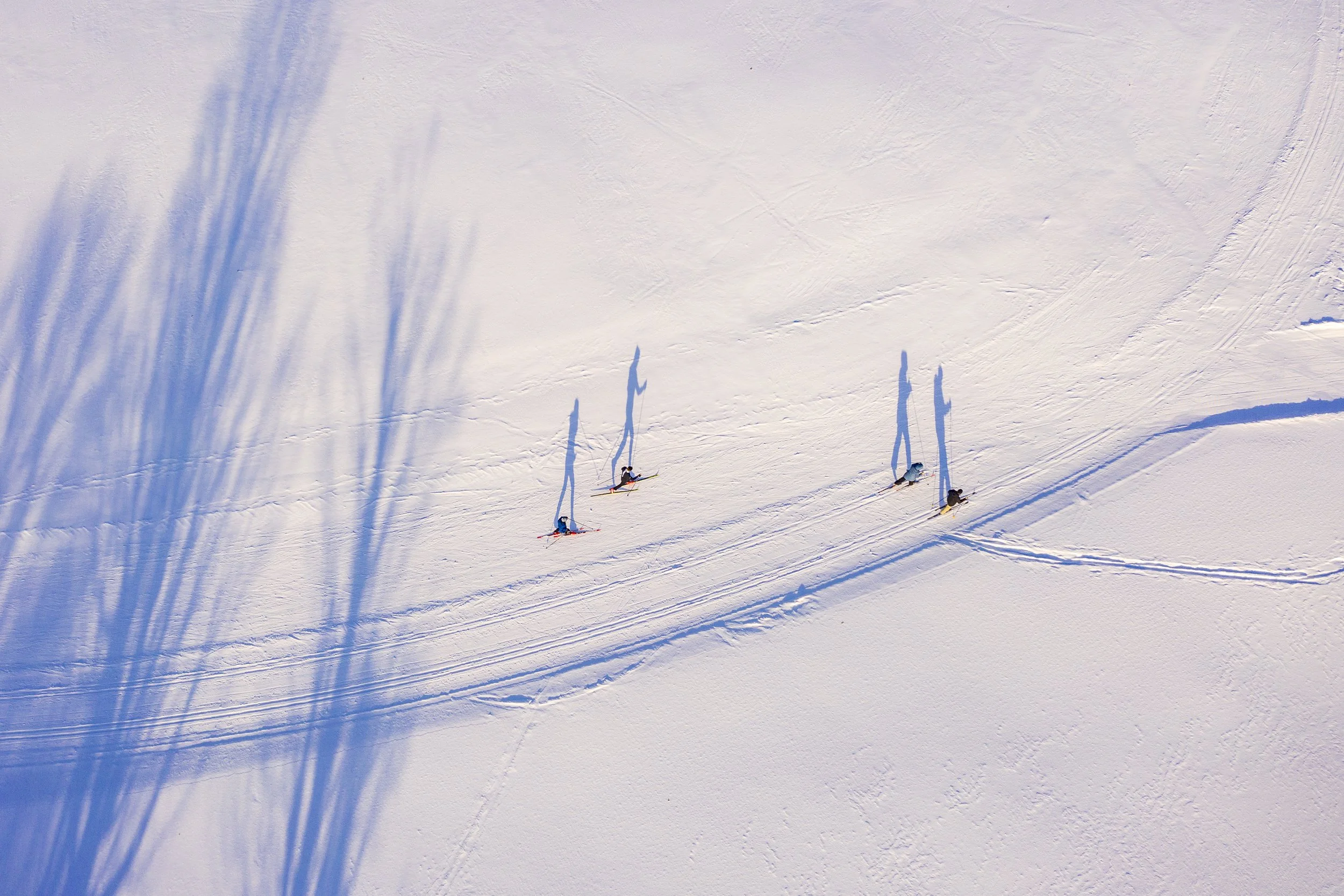
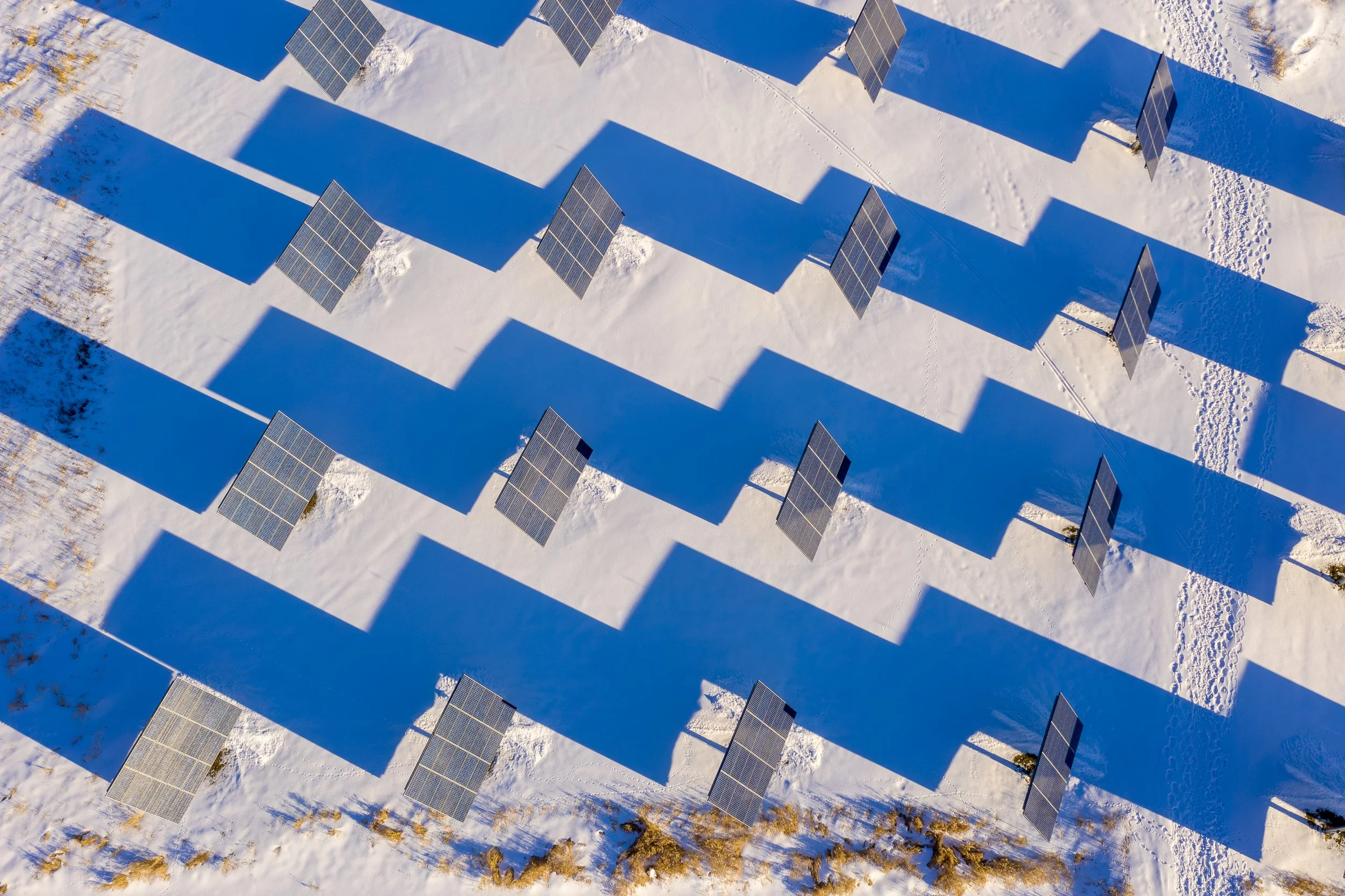
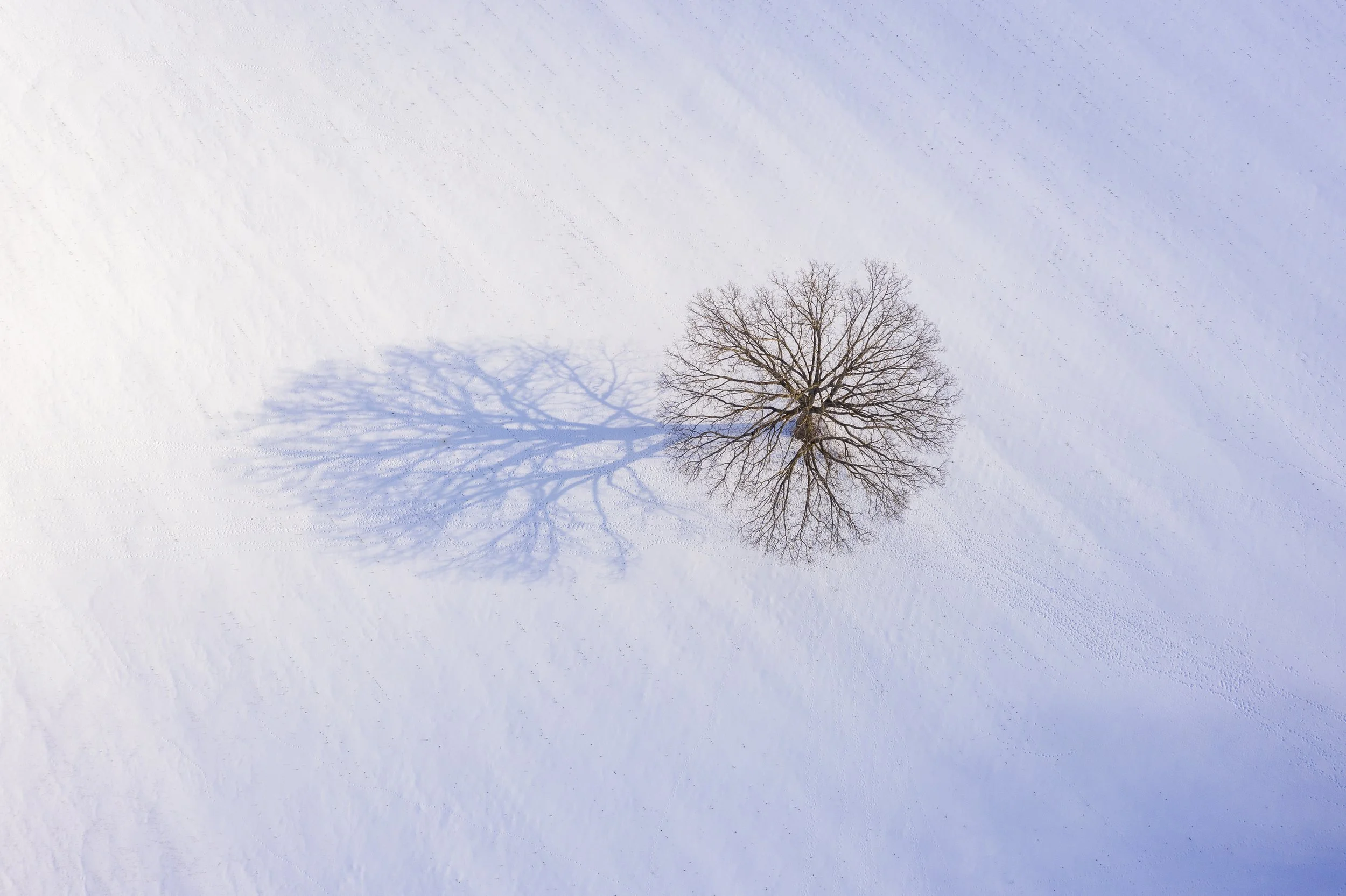
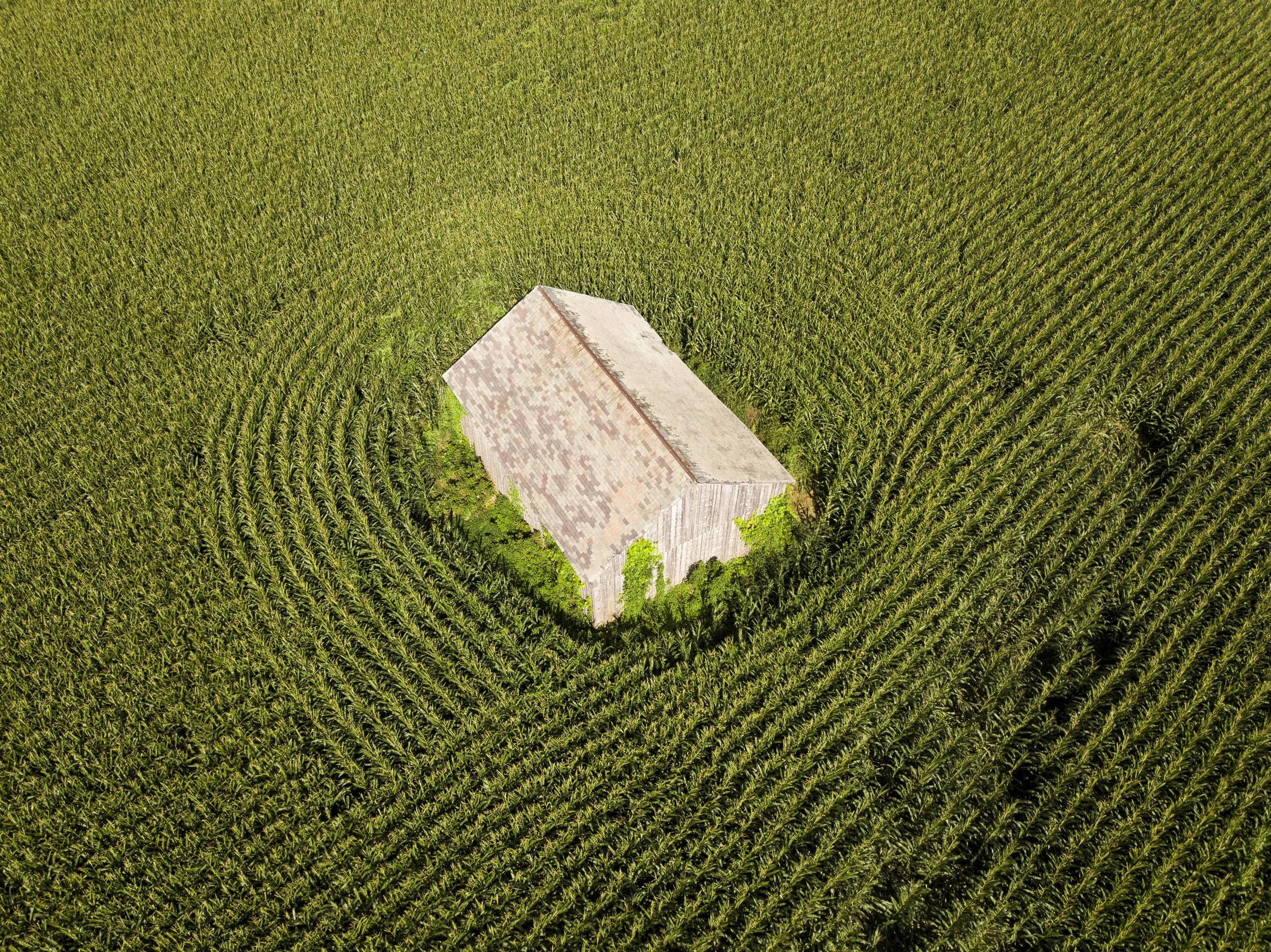
One day, from a country road in Rupert, Vermont, I noticed an old barn barely visible above a cornfield. Only from the air could I see the graceful curves of the cornrows embracing the weathered structure and the intricate texture of its slate roof. Flying over an apple orchard after a fresh snowfall, I watched the long morning shadows of the trees stretch rhythmically across the snow, transforming an ordinary agricultural landscape into an abstract composition.
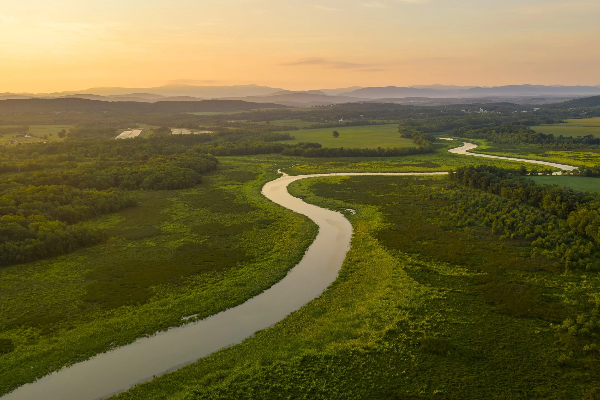
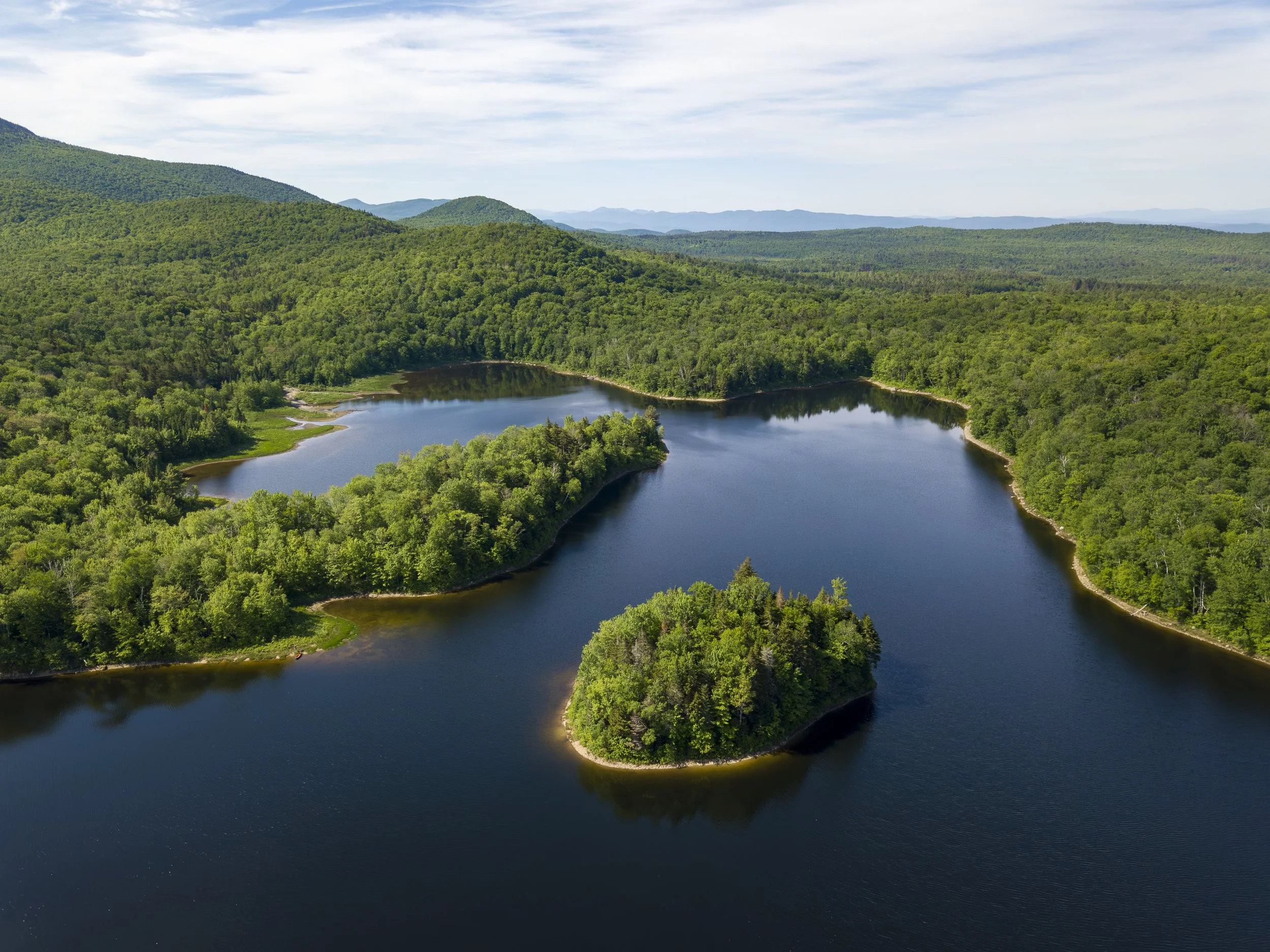
Drone photography has changed the way I see Vermont. It allows me to explore familiar places with renewed curiosity, revealing beauty that often goes unnoticed from the ground. Through these aerial photographs, I hope to encourage viewers to slow down, look closely, and experience the landscape with a fresh sense of wonder.